What is recorded here
This site was identified during Phase II test excavation of the N8 Cashel to Mitchelstown road improvement scheme carried out in May 2006. The site was subsequently excavated on 18–19 August 2006. It was located on the banks of the River Funshion, at the base of a gradual south-facing slope. One small spread of silty clay with moderate inclusions of charcoal and burnt stone was identified. This deposit is likely to be prehistoric in date. A thin deposit of peat (0.1–0.12m deep) overlay the burnt-stone deposit ' (Excavations 2006, Site No. 1253). Burnt spread excavated by Bernice Molloy (A027/000, E4595).
The monument record does not grant public access. Check the route and ask the landowner before entering private land.
- What survives
- Recorded monument
Places near here
 Holy well in ChurchquarterHoly well · 405 yd
 Grave YardGraveyard · 407 yd
 Kilbeheny Church (in ruins)Church · 421 yd
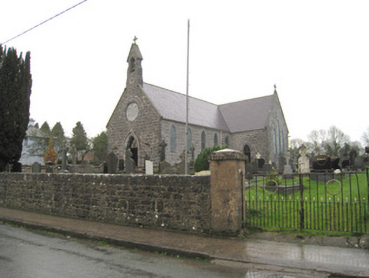 Saint Joseph's Catholic Churchchurch/chapel · 667 yd
 Kilbeheny Castle (in ruins)Castle, tower house · 1.2 mi
 CastleCastle, ringwork · 2.8 mi
 Coopers WoodWood · 3.0 mi
 Eagles StepCliff · 3.2 mi
 John MandevilleMemorial · 3.4 mi
 Mitchelstown Town MapVisitor information · 3.4 mi
 Skeheen MountainMountain / peak · 3.4 mi
 Statue of Saint FanahanMemorial · 3.5 mi