What is recorded here
An irregularly shaped pit (2.5m x 1.55m; D 0.13m) was discovered during monitoring, c. 200m N of Lanesborough, at the site of the ESB power station. It was subsequently excavated in 2003 and three layers of fill were identified. The uppermost fill contained charcoal-rich, silty clay in which a fragment of bone and a piece of burnt chert were found. Below this was a deposit of mottled, silty clay with charcoal flecks containing six sherds of pottery that are likely to be prehistoric in date. The base comprised a compact band of oxidised, heat-reddened clay (Powell 2003, 6–7).
Compiled by: Mary Tunney
Date of upload: 28 February 2012
The monument record does not grant public access. Check the route and ask the landowner before entering private land.
- What survives
- Recorded monument
Places near here
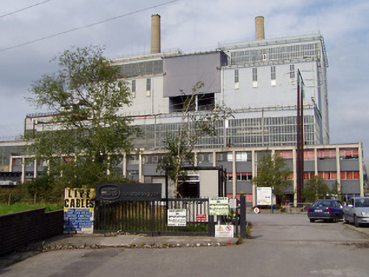 Lough Ree Power Stationturf/peat fired power station · 103 yd
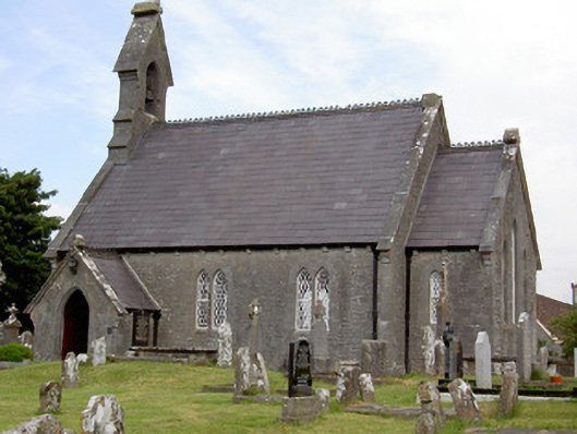 Saint John's Church (Rathcline)church/chapel · 270 yd
 Commons North WalkVisitor information · 741 yd
 Wild birdsVisitor information · 1221 yd
 Ballyclare IslandIslet · 1.1 mi
 White Sand WoodWood · 1.3 mi
 Rathcline CastleBawn · 1.7 mi
 IndicatedFairy fort / earthen ringfort · 2.1 mi
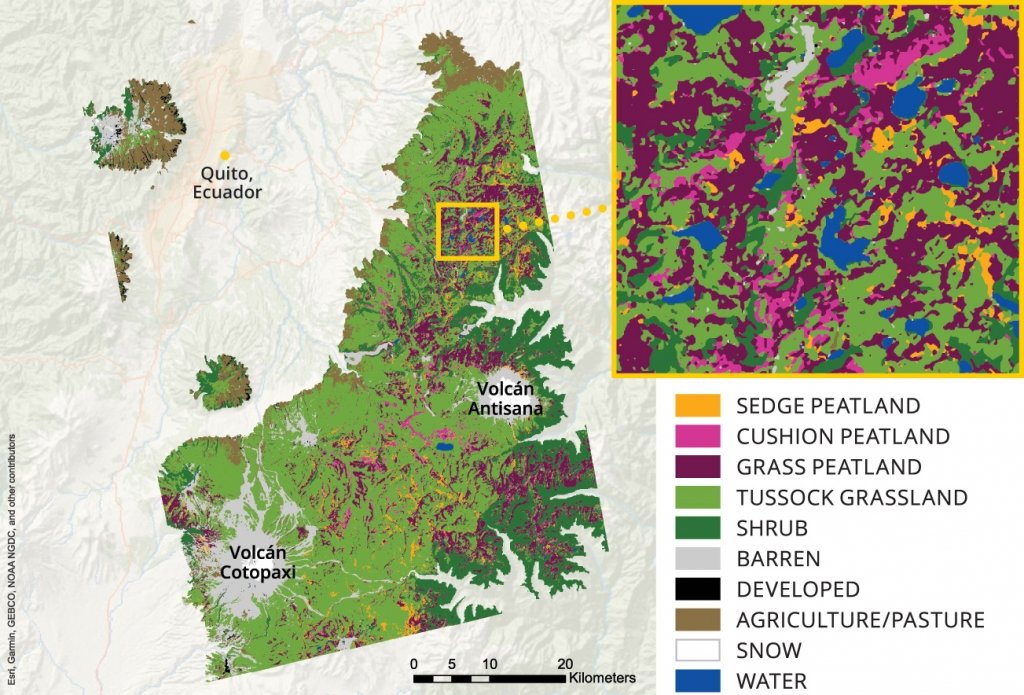 StructureStructure, peatland · 2.2 mi
 FerrinchIslet · 3.2 mi
 Slieve BawnMountain / peak · 4.6 mi
 Doughill ForestForest · 5.0 mi