What is recorded here
The official Northern Ireland record identifies this as BURNT MOUNDS (5). Recorded period: PREHISTORIC. The official map point was placed at the centre of the recorded archaeological site from the source map reference.
Prehistoric burnt mounds, likely dating to the Neolithic or Bronze Age, used for ritual or domestic purposes involving heat-treated stones. Their significance lies in providing insight into early land use and communal activities in the region.
The monument record does not grant public access. Check the route and ask the landowner before entering private land.
- What survives
- Recorded monument
Places near here
 AughrimMountain / peak · 792 yd
 CarnArchaeological place · 1383 yd
 Standing StoneArchaeological place · 1384 yd
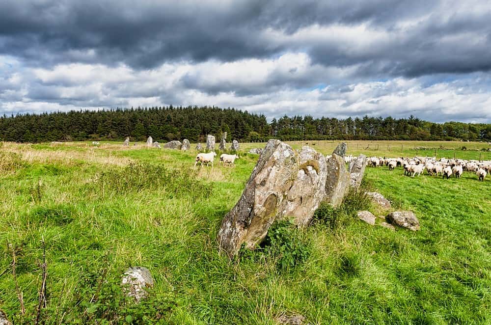 Cloughbeach Stone CircleArchaeological place · 1690 yd
 Saint Patrick's Holy WellSpring · 1.0 mi
 PENITENTIAL STATION STONES in CavancarraghPENITENTIAL STATION STONES · 1.0 mi
 Teampull RuisínHeritage attraction · 1.1 mi
 The Market Housemarket house · 1.4 mi
 Corry PointHeadland · 1.4 mi
 InisheeIsland · 1.5 mi
 Crannog IslandWood · 1.9 mi
 Kilrooscagh IslandIslet · 2.1 mi