What is recorded here
Archaeological testing (04E0915) by S. Delaney (2005) at Testing Area 12 of Contract 4 of the M3 motorway identified (excavations.ie 2004:1355) a burnt mound spread (dims 6m x 4m) that was completely excavated (E003150) in December 2004 by Y. Whitty as Town Parks 4. By this time it was reduced to a small spread (dims 3m x 2.5m; T 0.1m) of broken and burnt stone. No other features or artefacts were recovered. (Whitty 2010, 5-6)
Compiled by: Michael Moore
Date of upload: 11 March 2022
Burnt mound, Late Bronze Age. The site is significant as part of a widespread but enigmatic class of monuments, possibly used for ritual or industrial purposes.
The monument record does not grant public access. Check the route and ask the landowner before entering private land.
- What survives
- Recorded monument
Places near here
 Long WoodForest · 512 yd
 Tiermurrin WoodWood · 617 yd
 Enclosure in LackmelchEnclosure · 965 yd
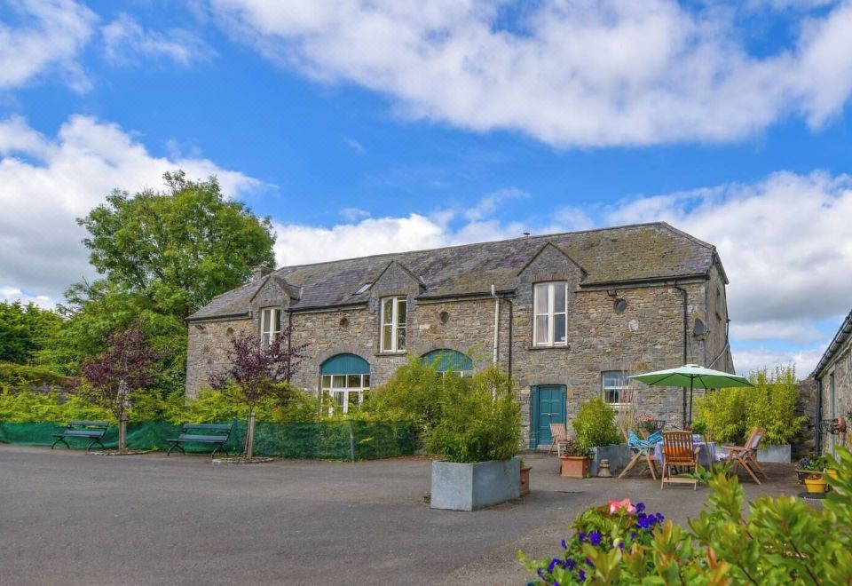 Enclosure in Calliaghstown (kells Upper By.)Enclosure · 970 yd
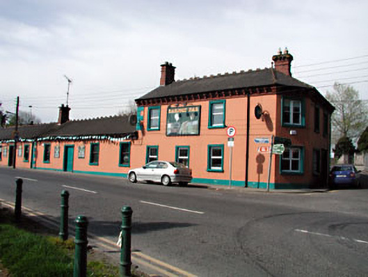 Railway Househotel · 1011 yd
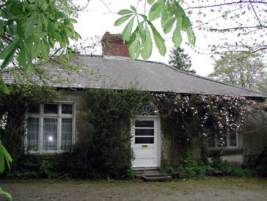 Westfield Cottagehouse · 1036 yd
 James CarolanMemorial · 1436 yd
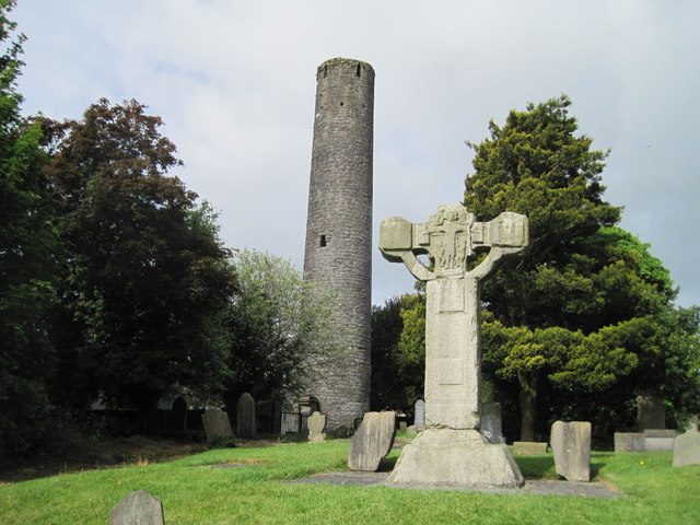 Kells Round TowerMemorial · 1629 yd
 CastleCastle, unclassified · 1.0 mi
 Castle ruinsCastle · 2.0 mi
 MountainpoleMountain / peak · 2.5 mi
 BallybegMountain / peak · 3.0 mi