What is recorded here
Situated towards the bottom of an E-facing slope c. 150m N of the headwaters of a small N-S stream. An oval area of burnt and cracked stones and black soil (dims. 17m x 13m) is visible when the area is ploughed.
The above description is derived from the published 'Archaeological Inventory of County Wexford' (Dublin: Stationery Office, 1996). In certain instances the entries have been revised and updated in the light of recent research.
Compiled by: Michael Moore
Date of upload/revision: 16 August, 2012
The monument record does not grant public access. Check the route and ask the landowner before entering private land.
- What survives
- Recorded monument
Places near here
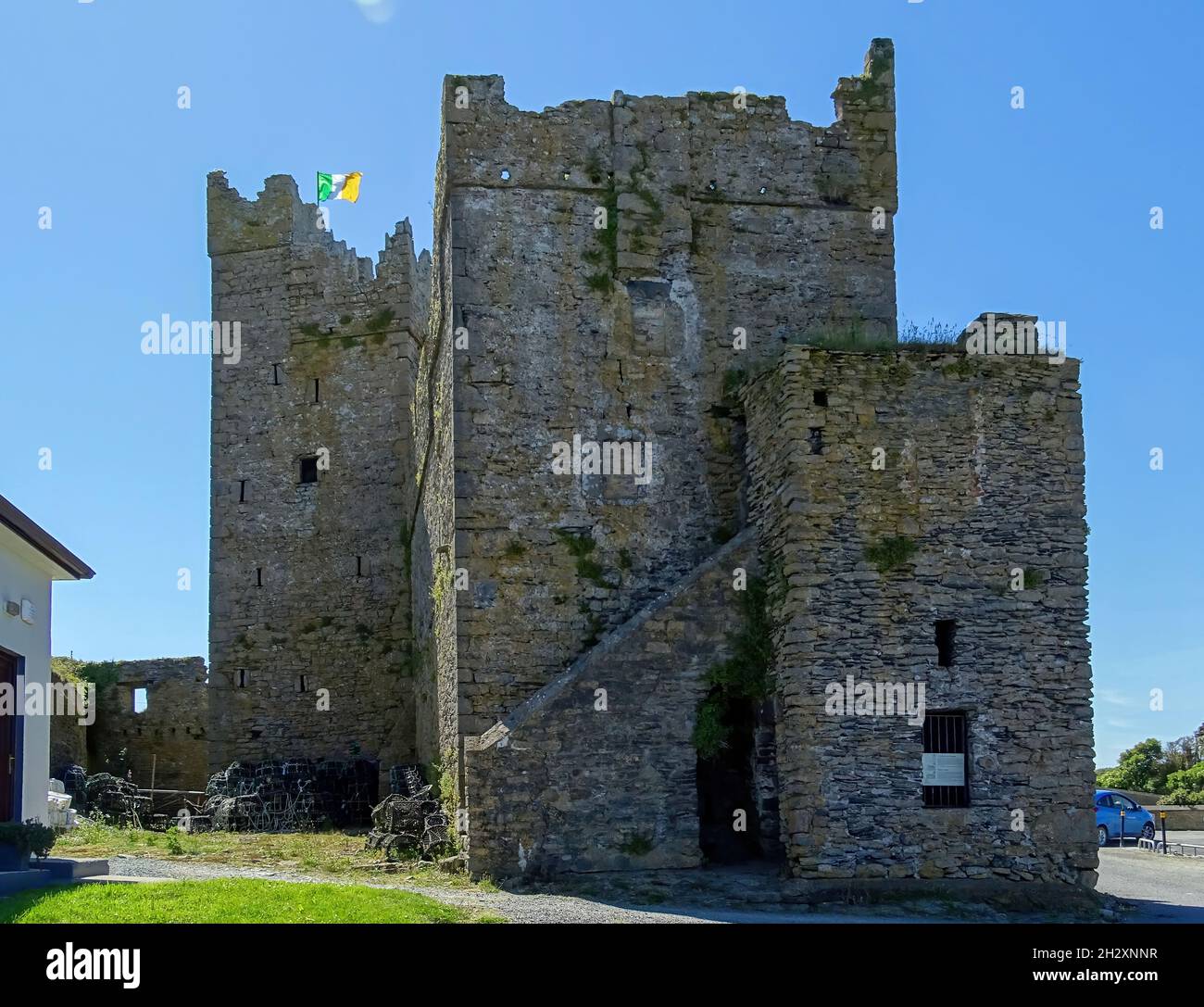 Embanked enclosureFairy fort / earthen ringfort · 766 yd
 IndicatedFairy fort / earthen ringfort · 818 yd
 Palace East Junction Railway Stationrailway station · 1184 yd
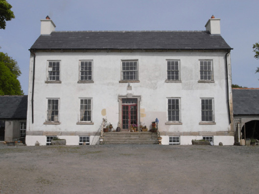 Robinstown Housefarm house · 1404 yd
 Old Ross MoteCastle, motte and bailey · 1.8 mi
 Site of CastleCastle, unclassified · 1.9 mi
 Carrickmastia HillMountain / peak · 2.6 mi
 Forest Of The DunbrodyForest · 3.3 mi
 Lacken HillMountain / peak · 3.4 mi
 1798 RebellionMemorial · 3.6 mi
 Glenour MonumentMemorial · 4.1 mi
 Silver WattleSilver Wattle · 5.1 mi