What is recorded here
Burnt mound in Powerswood hides beneath a gentle E-facing slope in County Kilkenny, measuring twenty metres north-south and fourteen metres east-west. People found charcoal-rich black soil and fire-cracked stone while cutting drainage for forest work. The mound no longer rises above the ground, yet it still holds the shape of repeated heat, water and human attention in low-lying soil.
In low-lying terrain on a gentle E-facing slope. Identified while excavating mound drains for forest development. Mound material (dims. c. 20m N-S; c. 14m E-W; D c. 0.25m) evident almost immediately below sod. Charcoal rich black soil with frequent inclusions of burnt/fire cracked stone visible in the drain. The mound is not visible at ground level. (pers. comm. Melanie McQuade, 19 December 2016).
Compiled by: Jean Farrelly
Date of upload: 20 December 2016
Burnt mound in Powerswood is a prehistoric ritual or industrial site, likely dating to the Neolithic or Bronze Age. Its significance lies in providing evidence of early land use and possible ceremonial activity in the area.
The monument record does not grant public access. Check the route and ask the landowner before entering private land.
- What survives
- Recorded monument
Places near here
 TobernalitheHoly well · 253 yd
 Ballycorcoran Bridgebridge · 1245 yd
 Font in PowerswoodFont · 1257 yd
 Church in FirgroveChurch · 1.1 mi
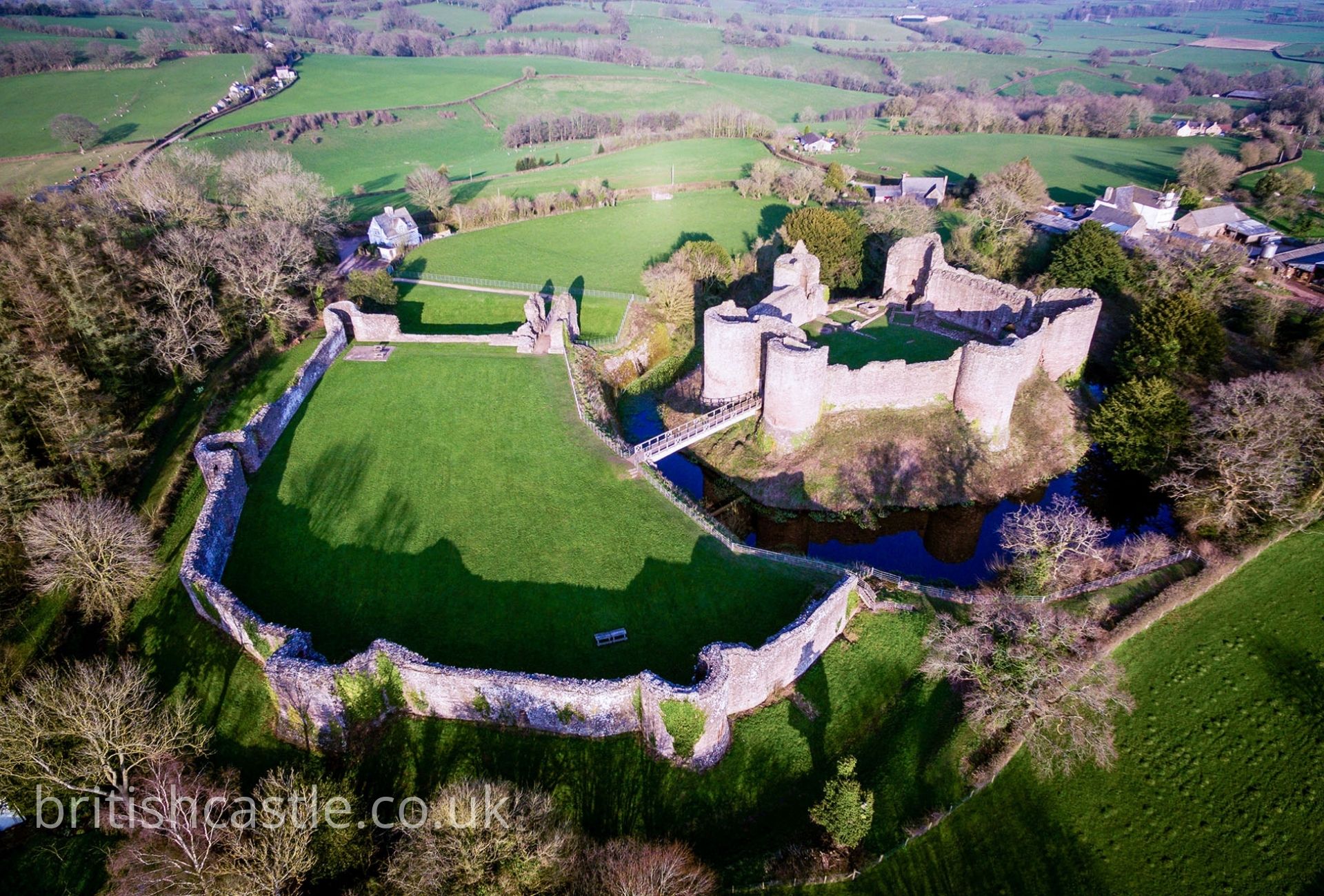 White Castle (Site of)Castle, unclassified · 2.0 mi
 Castle, Ballyduff HouseCastle, tower house · 2.3 mi
 Graveyard in DerrynahinchGraveyard · 2.7 mi
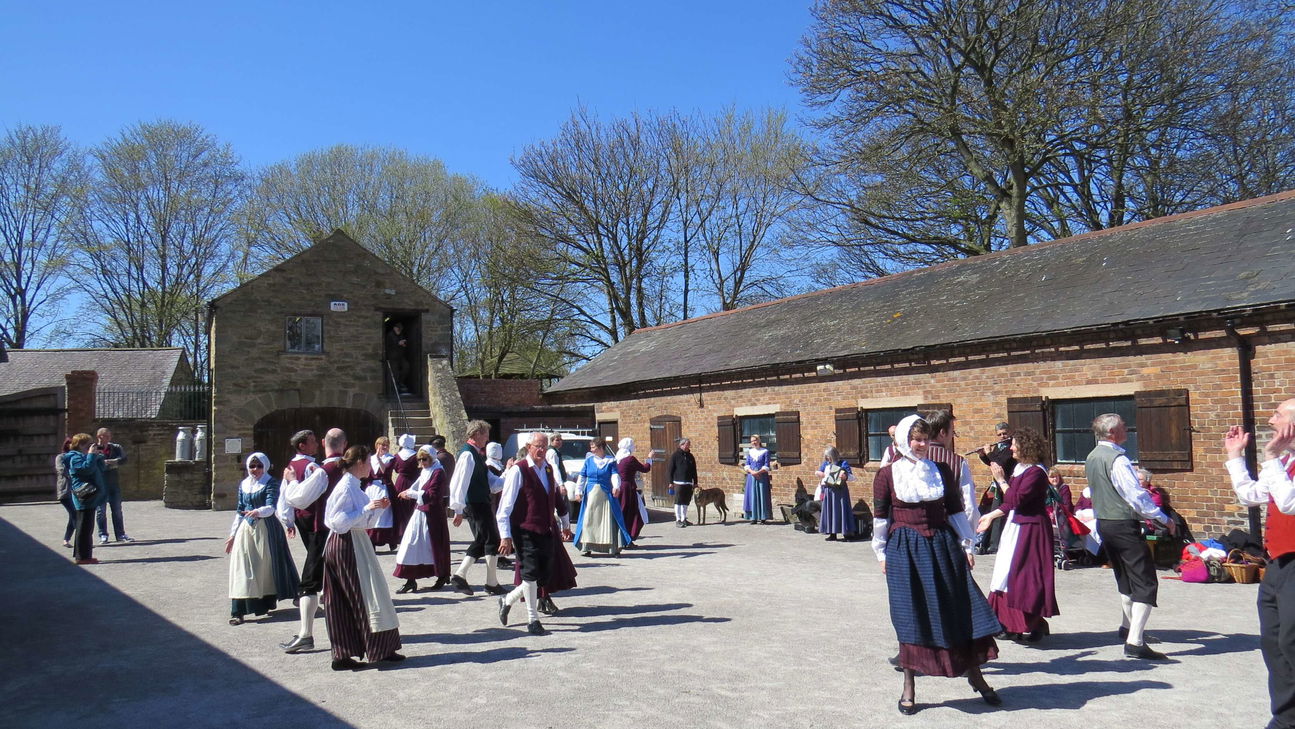 Woodstock Heritage MuseumMuseum · 3.1 mi
 St Colmcille's WellVisitor information · 3.1 mi
 James FrenyMemorial · 3.1 mi
 St. Mary's ChurchVisitor information · 3.1 mi
 Fox CovertForest · 3.3 mi