What is recorded here
Hot water raged on that Kilkenny slope three thousand years ago, shaking stone until it split and blackening the earth beneath. People likely stood beside the steam, drinking or cleaning with water heated by rocks no furnace could match. They departed before the road builders arrived, leaving only shattered stone, charcoal and a single pottery sherd for later wonder.
On an E-facing slope in pasture. Excavated in 2006 in advance of the N9/N10 Waterford to Kilcullen Road Improvement Scheme (Excavation licence no. E2498). A spread of loosely packed heat-shattered stone and charcoal (6.3m N-S; 5m E-W, T 0.11m) extending W beyond the limits of the excavation. The spread lay above a deposit of charcoal 0.4m in depth. A sherd of prehistoric pottery and some waste flint were recovered from the spread and a flint core was found in the topsoil above it. A sample of charcoal from the spread was radiocarbon dated to 1120-910 cal BC (Poz-26963). An early medieval kiln (KK043-095----) lay 9m to the SE. (Wren 2009, 259, no. 1017; 2010)
Compiled by: Mary Tunney
Date of upload: 7 October 2013
Burnt mound, likely dating to the Neolithic or early Bronze Age. It represents a domestic or ritual site where heat was applied to stone, possibly for cooking or ceremonial purposes.
The monument record does not grant public access. Check the route and ask the landowner before entering private land.
- What survives
- Recorded monument
Places near here
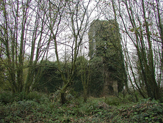 Gaulskill Churchchurch/chapel · 1195 yd
 Church in BallynamorahanChurch · 1200 yd
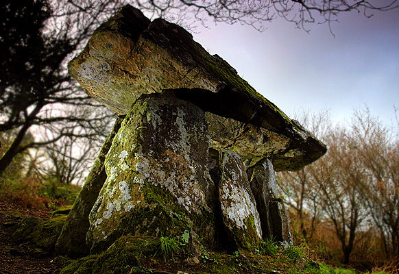 Enclosure in Gaulstown (ida By., Rossinan Ed)Enclosure · 1709 yd
 TubbereenanHoly well · 1.1 mi
 CastleCastle, unclassified · 1.2 mi
 Graul Burkes Castle (Site of)Castle, unclassified · 1.2 mi
 Native Woodland Trust:Grace Dieu ReserveWood · 3.0 mi
 Ballynaboley WoodForest · 3.4 mi
 Mount Congreve GardensHeritage attraction · 5.5 mi
 Waterford & Suir Valley RailwayHeritage attraction · 6.1 mi
 Donnell's HillMountain / peak · 8.5 mi
 Tower HillMountain / peak · 8.8 mi