What is recorded here
Situated on an E-facing slope. Archaeological testing (Excavation Licence 07E0396) at the edge of a farm complex uncovered an oval spread of broken and burnt stones (dims. c. 15m N-S; c. 11m E-W). (Moran 2010)
Moran, J. (2010) Mathewstown. Fulacht fia. in I. Bennett (Ed.) Excavations 2007: summary accounts of excavations in Ireland, 517, No. 1831. Wordwell. Dublin.
Compiled by: Michael Moore
Date of upload/revision: 27 May 2011
Burnt mound in Matthewstown is a prehistoric ritual or industrial site, likely dating to the Neolithic or Bronze Age, characterized by a spread of burnt stones. Its function remains debated, but such features are commonly associated with heat-related activities such as cooking, hide processing, or ceremonial practices.
The monument record does not grant public access. Check the route and ask the landowner before entering private land.
- What survives
- Recorded monument
Places near here
 Matthewstown Passage TombArchaeological place · 239 yd
 Embanked enclosureEnclosure · 516 yd
 Ballyscanlon HillMountain / peak · 1029 yd
 Fenor BogNature reserve · 1240 yd
 Catholic Church of the Immaculate ConceptionOfficially recorded historic building · 1638 yd
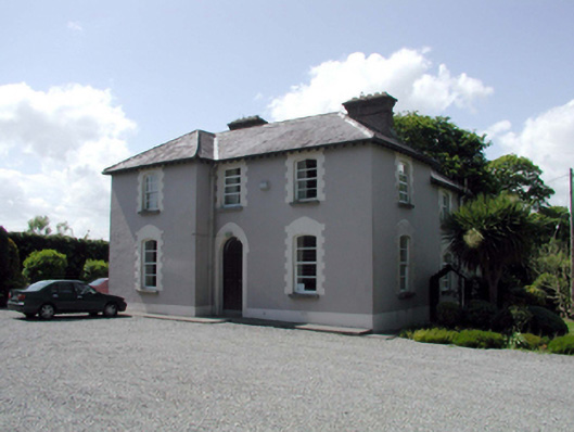 presbytery/parochial/curate's housepresbytery/parochial/curate's house · 1714 yd
 Castle (in ruins)Castle, tower house · 2.1 mi
 Dunhill CastleCastle · 2.1 mi
 Annestown monumentMemorial · 2.8 mi
 Garrarus StrandBeach / strand · 2.9 mi
 Kilfarrasy BeachBeach / strand · 2.9 mi
 Doneraile WalkWalking route · 3.1 mi