What is recorded here
In the SE foothills of the Ox Mountains, in the level N part of a steeply sloping field of rough, heather-grown pasture which was converted to forestry in December 2016. It is located on damp, level ground close to the SW end of a raised spine of bedrock which extends to NE. Ground falls away steeply to SE. This burnt mound was discovered during archaeological monitoring of the forestry works. It is exposed in section in two parallel NE−SW forestry trenches, set 6m apart. A dense layer (L 5-6m NE−SW; D 0.3m) of small fragments of heat-shattered stone in black, charcoal-rich soil is visible in the section faces of both trenches (Wth 0.7m; D 0.55-6m). The outline of the mound cannot be traced at surface level, and its full extent is unclear. Another burnt mound (MA061-225----) is located 20m to NW, and a third (MA061-224----) 40m to NNW.
Compiled by: Jane O'Shaughnessy
Date of upload: 24 January 2017
A burnt mound; date uncertain but likely Bronze Age. It represents a domestic or ritual site involving heat-treated stone, typical of widespread activity across Neolithic and Bronze Age Europe.
The monument record does not grant public access. Check the route and ask the landowner before entering private land.
- What survives
- Recorded monument
Places near here
 IndicatedFairy fort / stone ringfort · 258 yd
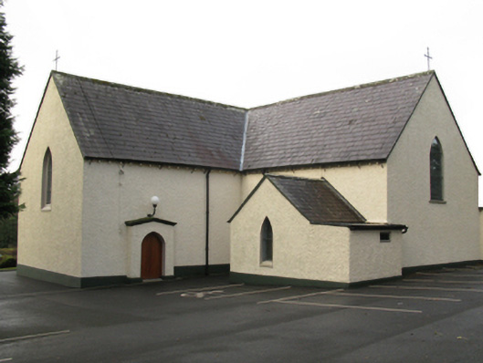 Catholic Church of Saint Thomas the Apostlechurch/chapel · 679 yd
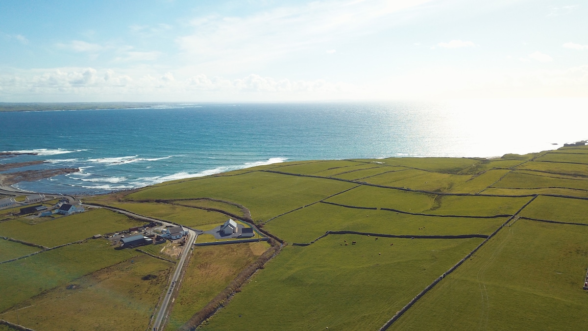 InidcatedFairy fort / earthen ringfort · 780 yd
 Church in CloonygowanChurch · 1269 yd
 Hennigan's Heritage CentreHeritage attraction · 1.4 mi
 Castle (in Ruins)Castle, unclassified · 1.6 mi
 HawthornHawthorn · 1.9 mi
 Bawn in ToomoreBawn · 2.8 mi
 Youth Memorial GardenMemorial · 3.5 mi
 Admiral William BrownMemorial · 3.7 mi
 Foxford Woollen MillsHeritage attraction · 3.7 mi
 Brabazon WoodsForest · 3.9 mi