What is recorded here
In rough pasture, located on the SE edge of a broad, expanse of flat reclaimed pasture and boggy ground. An E–W property wall intervenes between the mound and a natural rise which lies a few meters to NW.
An irregular-shaped mound (c. 11.4m N–S; c. 9.6m E–W; H 0.4-0.5m at N, 0.65m at S) composed of small angular stones in a matrix of black soil. The mound has suffered disturbance in recent years and survives as three close-set, sod-covered rises. At S are two conjoined rises (diam. of each c. 5m) with an intervening shallow dip (Wth 1m). A tractor tract, consisting of an E–W depression (Wth 2m), separates the S portion from a third low rise (diam. 5-6m) at N.
There is another burnt mound (MA111-103----) c. 100m to E in the same field, and a burnt mound (MA111-104001-) and a fulacht fia (MA111-104002-) are located c. 80-100m to SE.
Compiled by: Jane O'Shaughnessy
Date of upload: 9 March 2023
Burnt mound in Knockalegan is a Bronze Age ritual or industrial site, characterized by a heap of heat-shattered stones. Its significance lies in providing evidence of prehistoric human activity, possibly related to cooking, metalworking, or ceremonial practices.
The monument record does not grant public access. Check the route and ask the landowner before entering private land.
- What survives
- Recorded monument
Places near here
 Castle (ruin)Castle, unclassified · 139 yd
 IndicatedFairy fort / earthen ringfort · 664 yd
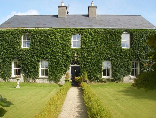 Gardenfield Housefarm house · 880 yd
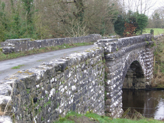 bridgebridge · 1326 yd
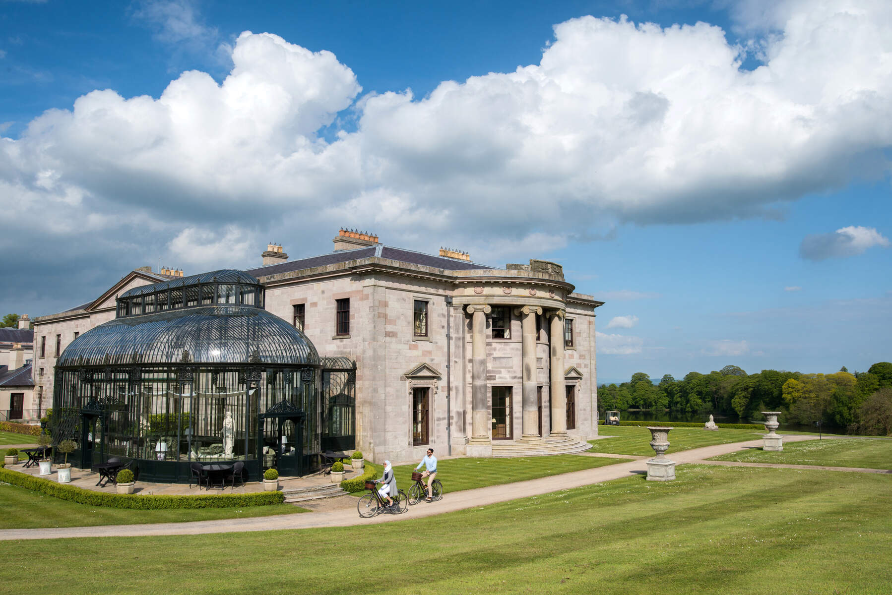 Enclosure in Lehinch DemesneEnclosure · 1625 yd
 Ahena CastleCastle · 2.5 mi
 SycamoreSycamore · 3.5 mi
 Geoffrey's WoodForest · 3.8 mi
 Land of the GiantsHeritage attraction · 4.6 mi
 Carrigeen ShangormanIslet · 9.2 mi
 Long IslandIslet · 9.7 mi
 Black RocksNamed rock · 11 mi