What is recorded here
In relatively lowlying, level pasture. This burnt mound was exposed in section within the pipeline wayleave during archaeological monitoring on the Lough Mask Regional Water Supply Scheme (2001-2002). It was recorded and sampled under licence 01E0314 (Guinan 2015, 104, 110). The layer (T 0.3m) of burnt stone and charcoal underlay topsoil (T 0.3-0.4m) and peat (T 0.2-0.4m) and overlay marl. The bulk of the mound extended to S beyond the wayleave. The pipe was diverted to N, and the archaeological deposits are preserved in situ. A charcoal sample was retrieved for radiocarbon dating and produced a Late Bronze Age date (2850+/- 45 BP (1130-890 BC)). (Guinan 2015, 110)
Compiled by: Jane O’ Shaughnessy
Date of upload: 22 February 2016
Burnt mound, likely dating to the Neolithic or Early Bronze Age. Its presence indicates ritual or domestic activity, though specific significance within the region remains unclear.
The monument record does not grant public access. Check the route and ask the landowner before entering private land.
- What survives
- Recorded monument
Places near here
 LisatoberArchaeological place · 509 yd
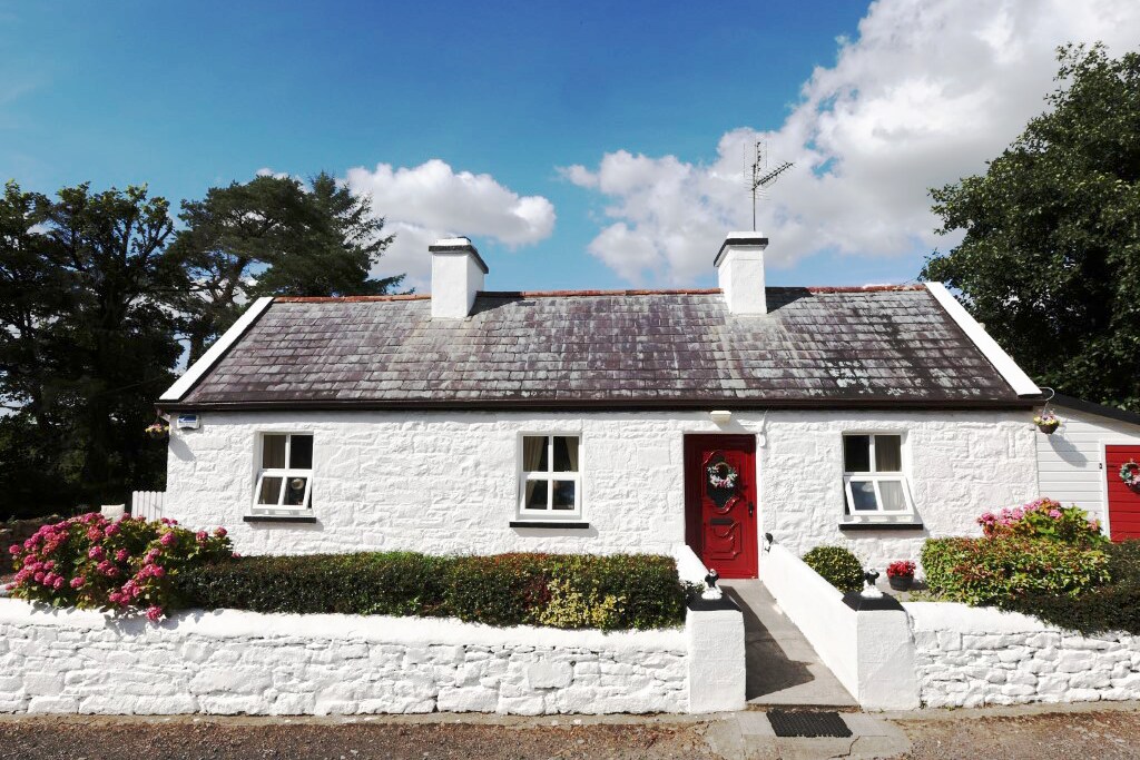 IndicatedFairy fort / earthen ringfort · 810 yd
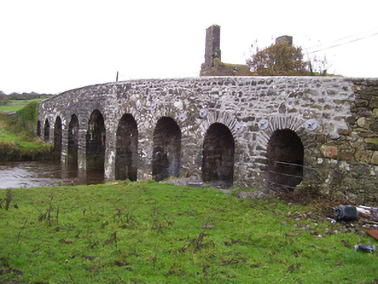 Doonmacreena Bridgebridge · 1.3 mi
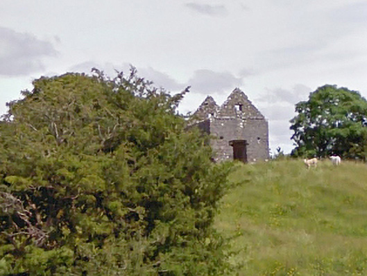 aviary/dovecote/pigeon houseaviary/dovecote/pigeon house · 1.4 mi
 CastleCastle, unclassified · 2.4 mi
 Castlekeel (in ruins)Castle, unclassified · 3.9 mi
 Oak WoodForest · 4.0 mi
 Geoffrey's WoodForest · 4.7 mi
 Land of the GiantsHeritage attraction · 5.8 mi
 Mass RockNamed rock · 9.9 mi
 Enclosure in Knockadoon (clanmorris By.)Enclosure · 1222 yd
 LisnapoolEnclosure · 1542 yd