What is recorded here
In the NE corner of pasture field, located in flat, damp lowlying terrain. Ground rises gently immediately to N. The NE shores of Lough Gill are c. 600m to S.
This burnt mound is evident as a very low, grass-covered roughly circular rise (12m N−S; 12m E−W). It appears to be composed of angular stone fragments in black soil. There is a very slight surface dip towards the SE side of the mound, but it is very poorly defined, and it is unclear whether it indicates the location of a trough. There is a burnt mound (SL015-133----) 10m to SSE and another (SL015-133----), in an adjoining field, c. 190m to S.
Notified to NMS by Leo Leyden.
Attached image:
SL015-134----_01.JPG Viewed from SW
Compiled by: Jane O’Shaughnessy
Date of upload: 27 November 2018
Burnt mound (fulacht fiadh), likely dating to the Bronze Age. These features were used for cooking or processing activities and are significant for understanding early land use and subsistence practices.
The monument record does not grant public access. Check the route and ask the landowner before entering private land.
- What survives
- Recorded monument
Places near here
 Enclosure in Hazelwood DemesneEnclosure · 456 yd
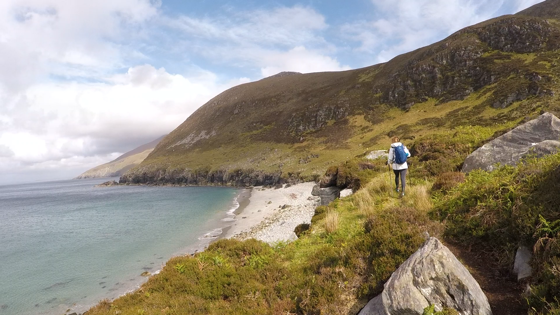 Annagh BayBay · 930 yd
 Annagh IslandIsland · 1126 yd
 Enclosure in KiltycahillEnclosure · 1259 yd
 Half Moon BayBay · 1376 yd
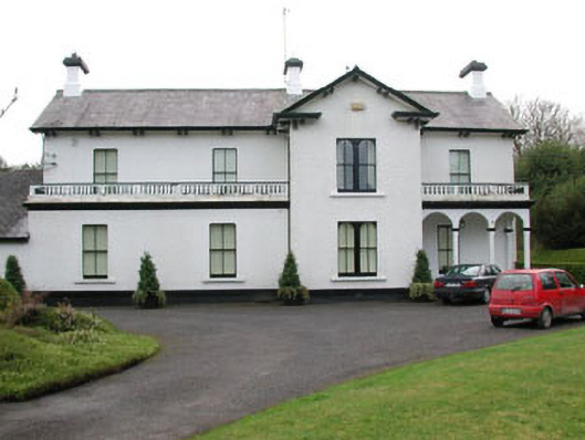 Ballyglass Househouse · 1455 yd
 Castle PointCastle, unclassified · 1511 yd
 HazelwoodWood · 1530 yd
 Hazelwood Housecountry house · 1569 yd
 Holm OakHolm Oak · 1.1 mi
 Pearl RockIslet · 1.2 mi
 Sligo Masonic HallMemorial · 1.7 mi