What is recorded here
No more than a shallow scar of blackened soil and fire-shattered stone remained where a mound once stood, but the burnt edge and a curved oak plank suggest a lost kitchen or washing place. Road works stripped the rest, leaving only a thin line of charcoal and memory in the clay.
'This possible site was recorded by the author in 1999 and subsequently damaged during the course of works on the re-alignment of the N22 roadway through the townland of Gortatlea. The site was located close to a drainage trench in an area that had been reclaimed. It remained as a very low undulation in the ground surface measuring 6m N-S by 4m E-W and remaining only to a height of 0.21m. The site was subsequently excavated following damage by machinery and a spread of fire shattered stone and charcoal was uncovered. The burnt spread itself was quite shallow with a maximum depth of only 0.19cms and an extent of only 2.6 X 2.2m. The spread consisted of blackened soil, fire shattered red sandstone and charcoal, material normally found in mounds associated with fulachta fiadh. The spread rested directly on the grey clay subsoil and was sealed by the light brown peat. While the spread is small and shallow, the fact that the depth of the burnt spread increases towards the north may indicate that the main body of any mound rested in this area. As such, it would seem possible that the small burnt spread of blackened soil, fire shattered stone and charcoal could represent the outer edge of a that has substantially been destroyed by drainage works to the immediate north and east. Located 14m to the south of the spread a piece of timber was visible in the east facing section of the pipeline trench. The timber was oak and was clearly worked - it was visibly curved, the bark had been removed and its visible surface showed evidence of having been burnt. The timber measures 0.62m long, 0.18m wide and is 9cms, in thickness. It is clearly curved and has been deliberately fashioned from a large wooden plank. It may be part of a wooden trough although there are other possible explanations.'
Description from ‘The Prehistoric Settlement of the Lee Valley, Tralee, Co. Kerry; A Landscape Perspective’ by Michael Connolly. PhD Thesis UCC 2008
Date of upload: 29 June 2012
The monument record does not grant public access. Check the route and ask the landowner before entering private land.
- What survives
- Recorded monument
Places near here
 Burnt spread in Gortatlea (trughanacmy By.)Burnt spread · 18 yd
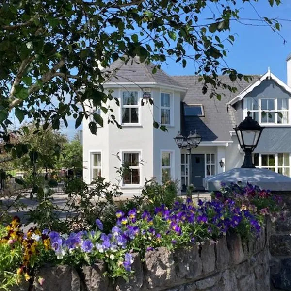 Enclosure in Gortatlea (trughanacmy By.)Enclosure · 241 yd
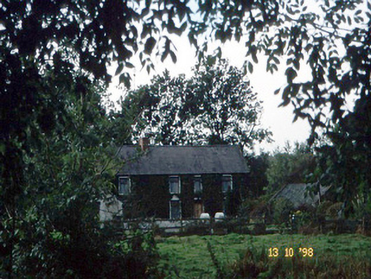 farm housefarm house · 1.1 mi
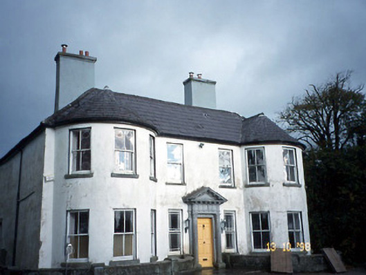 Arabela Househouse · 1.2 mi
 Site of McElligotts CastleCastle, unclassified · 1.2 mi
 Bealagrellagh CastleCastle · 1.3 mi
 PoulatouirtCave · 2.7 mi
 Common AlderCommon Alder · 2.7 mi
 Poulclashcannon (blocked)Cave · 2.8 mi
 Ballygamboon Forest Recreation AreaWood · 4.1 mi
 Scotia's GraveArchaeological place · 4.9 mi
 Civil War MemorialMemorial · 5.0 mi