What is recorded here
Hot water hissed over shattered stone in Flemby while people watched the steam rise. They may have cooked food, cleaned tools or marked a boundary for the valley. The mound still holds black soil and broken rock, preserving the heat and hurry of that forgotten afternoon.
'This site is situated in a reclaimed field approximately 35m west of a small unnamed stream. The site consists of a low mound measuring 18m N-S and 13.6m E-W. The mound is on average 0.47m high and consists of blackened soil a shattered stone. There is no visible trough, though the mound is sited in a shallow depression and the mound has the appearance of having been flattened out. Aerial photography showed the presence of up to three other features similar to this mound in this field, however, while small, shallow depressions are discernible, there is no above ground trace of further sites. It should also be noted that some areas of black soil (as against the generally brown soil of the field) are visible through the patchy grass cover. As such, there is a possibility that there were other, now destroyed fulachta fiadh/s in this field. This site was subsequently partially excavated in 2000 (00E245), while testing of the area of the field that would be within the line of the N22 road improvement scheme revealed a number of burnt spreads of soil and shattered stone and the remains of a fulacht fiadh. A radiocarbon date from one of these spreads was returned at 4210 - 4190 BC.'
Description from ‘The Prehistoric Settlement of the Lee Valley, Tralee, Co. Kerry; A Landscape Perspective’ by Michael Connolly. PhD Thesis UCC 2008
Date of upload: 25 June 2012
A Neolithic burnt mound, likely dating to the Late Neolithic period (c. 2500–2000 BCE). Its significance lies in providing evidence of domestic or ritual activity, possibly related to heat-treated stone use in cooking or ceremonial practices.
This remains an important historical record, but the official description says the monument is no longer visible or has been destroyed. The monument record does not grant public access. Check the route and ask the landowner before entering private land.
- What survives
- No visible remains or recorded as destroyed
Places near here
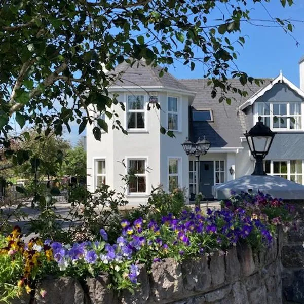 Enclosure in Gortatlea (trughanacmy By.)Enclosure · 445 yd
 Burnt spread in Gortatlea (trughanacmy By.)Burnt spread · 610 yd
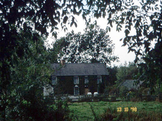 farm housefarm house · 1425 yd
 Bealagrellagh CastleCastle · 1747 yd
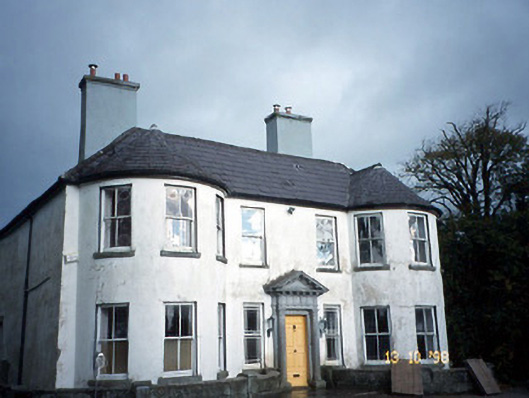 Arabela Househouse · 1.2 mi
 Site of McElligotts CastleCastle, unclassified · 1.2 mi
 Common AlderCommon Alder · 2.4 mi
 PoulatouirtCave · 2.6 mi
 Poulclashcannon (blocked)Cave · 2.7 mi
 Ballygamboon Forest Recreation AreaWood · 3.8 mi
 Scotia's GraveArchaeological place · 4.6 mi
 Civil War MemorialMemorial · 4.7 mi