What is recorded here
Burnt mound in area 5 was excavated in 2020 under licence 17E0292 by Muireann Ní Cheallacháin for IAC Archaeology during construction phase of residential development by Cairn Homes PLC.
Monument was described as following; 'Located c. 2.5m to the northeast was a second, much smaller sub-rectangular spread of burnt mound material (Mound B) consisting of a single layer of loose, black silty sand and burnt stone, under which a trough feature was identified in the southwest corner. The trough contained a single fill, of a similar material to C615, deposited
once the trough had gone out of use. The trough and eastern edge of Mound B was cut by a
modern field drain, containing a single fill (C616) with frequent stone inclusions, and further modern field drains also cut the eastern and northern edge of Mound A [WI013-139----] ' (Ní Cheallacháin and Spencer 2020, 38-9).
Compiled by: Caimin O’Brien
Date of upload: 10 November 2020
Burnt mound in Farrankelly is a Bronze Age ritual or industrial site, dating to approximately 2000–800 BCE. Its significance lies in providing evidence of heat-related activities, possibly for cooking, metalworking, or ceremonial purposes.
The monument record does not grant public access. Check the route and ask the landowner before entering private land.
- What survives
- Recorded monument
Places near here
 Enclosure in FarrankellyEnclosure · 432 yd
 TuliptreeTuliptree · 492 yd
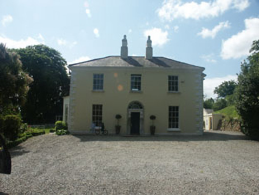 Glenbrookhouse · 506 yd
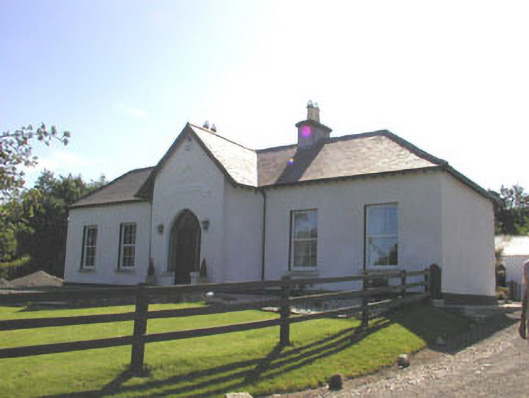 The Prioryhouse · 538 yd
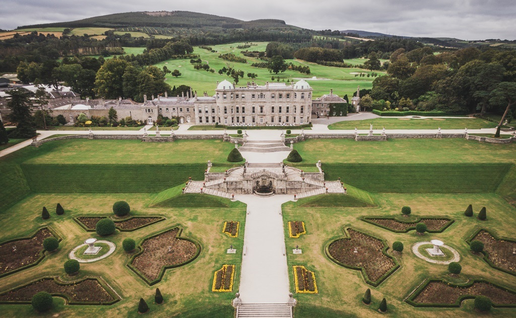 Enclosure in CharleslandEnclosure · 925 yd
 Delgany Heritage TrailWalking route · 1448 yd
 Kindlestown Castle (in ruins)Castle, hall-house · 1.1 mi
 Greystones South BeachBeach / strand · 1.3 mi
 Glenroe FarmHeritage attraction · 1.3 mi
 The CoveBeach / strand · 1.6 mi
 Glen of the DownsNature reserve · 1.7 mi
 Greystones WayWalking route · 2.0 mi