What is recorded here
The official Northern Ireland record identifies this as BURNT MOUND. Recorded period: BRONZE AGE. The official map point was placed at the centre of the recorded archaeological site from the source map reference.
Bronze Age burnt mound; significance not yet established.
The monument record does not grant public access. Check the route and ask the landowner before entering private land.
- What survives
- Recorded monument
Places near here
 Enclosure in DrumbaneEnclosure · 1.0 mi
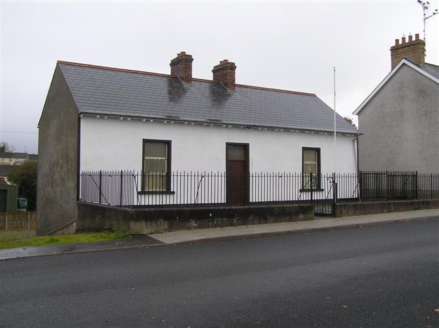 ENCLOSURE: LISBEG in BrockaghboyENCLOSURE: LISBEG · 1.1 mi
 Gortnamoyagh ForestForest · 3.4 mi
 Garvagh ForestForest · 3.5 mi
 St. John The Baptist RC ChurchChurch · 3.6 mi
 Ulster War Memorial Clock TowerMemorial · 3.7 mi
 Legananam PotCliff · 3.7 mi
 Altkeeran WaterfallWaterfall · 3.8 mi
 Killyvally BridgeBridge · 3.8 mi
 Carn HillMountain / peak · 4.1 mi
 Corick MountainMountain / peak · 5.3 mi
 Craigadick Picnic AreaPicnic place · 7.3 mi