What is recorded here
The official Northern Ireland record identifies this as BURNT MOUND. Recorded period: C17TH; POST-MED. The official map point was placed at the centre of the recorded archaeological site from the source map reference.
A burnt mound; likely dating to the Bronze Age. Its significance relates to its association with ritual or industrial activities, common features of such sites in the British Isles.
The monument record does not grant public access. Check the route and ask the landowner before entering private land.
- What survives
- Recorded monument
Places near here
 CROSS in DrumbrughasCROSS · 769 yd
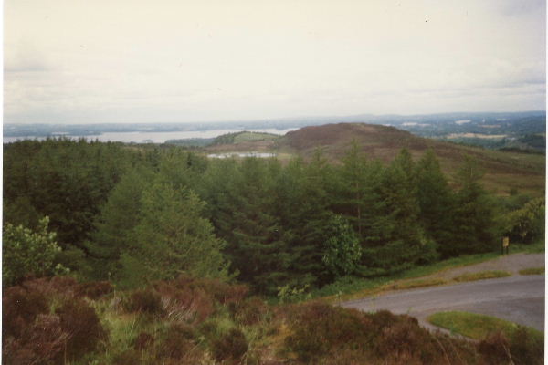 Annaghilly ForestForest · 1.3 mi
 Derrynawilt ForestForest · 1.9 mi
 Attack on Derryard checkpointterrorist attack · 2.2 mi
 PLANTATION TOWER-HOUSE & BAWN (unlocated) in ShannockPLANTATION TOWER-HOUSE & BAWN (unlocated) · 2.2 mi
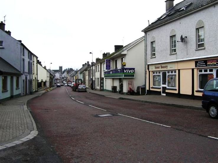 RathkeevanArchaeological place · 2.2 mi
 mill (wind)mill (wind) · 2.2 mi
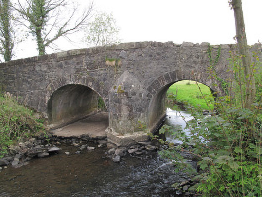 Bensons Bridgebridge · 2.3 mi
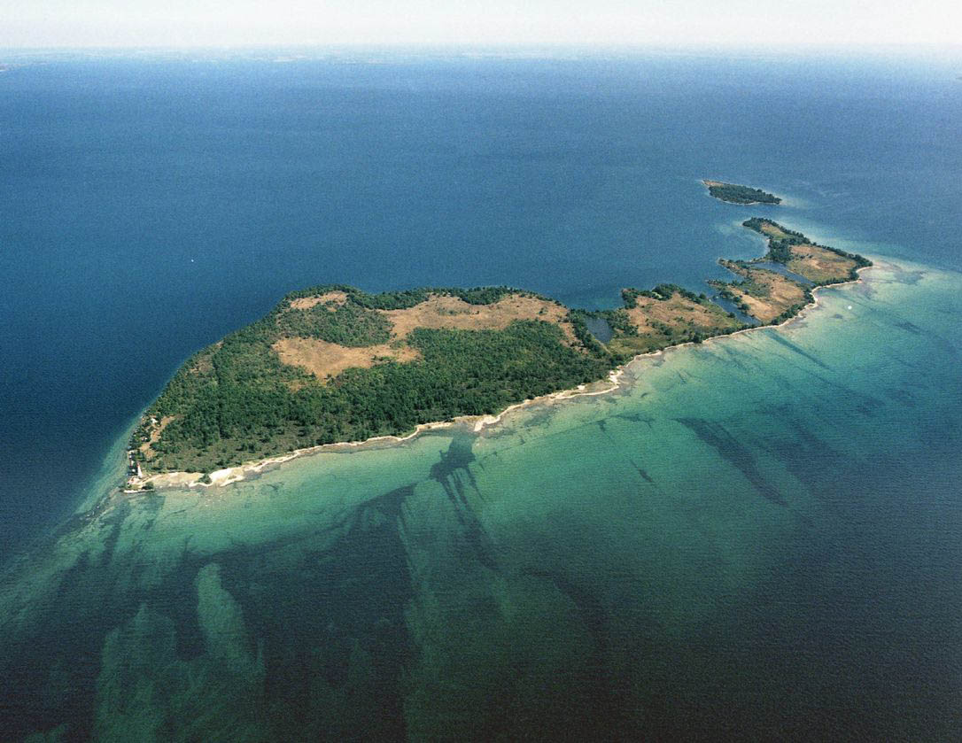 Duck IslandIslet · 2.5 mi
 Mount DarbyMountain / peak · 2.8 mi
 EschleaghMountain / peak · 3.7 mi
 Jaundice WellSpring · 3.8 mi