What is recorded here
Located on the E side of the island of Illanteige East, in the SE part of Islandeady Lough
This burnt mound was discovered in February 2016 during archaeological monitoring of a private forestry plantation. A layer (D 0.1-0.4m) of burnt stones and charcoal fragments was noted in the section faces of two parallel N−S forestry trenches (Wth c. 1m; D 0.4-0.5m), set 6.7m apart. The burnt layer lies beneath a layer of sod/topsoil (D c. 0.15m). At ground surface, a slight, roughly circular mound (11m N−S; 10m E−W) is evident, with the trenches cutting through the E and W sides. The trenches were backfilled and the site was marked for exclusion from planting. (pers. comm. Angela Wallace, March 2016).
Compiled by: Jane O'Shaughnessy
Date of upload: 5 April 2016
Burnt mound, likely dating to the Neolithic or Bronze Age. Such features are commonly associated with domestic or ritual activities involving heat, such as cooking or ceremonial practices.
The monument record does not grant public access. Check the route and ask the landowner before entering private land.
- What survives
- Recorded monument
Places near here
 Church (in ruins)Church · 846 yd
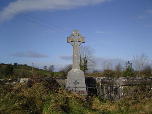 monumentmonument · 1258 yd
 Grave Yd.Graveyard · 1359 yd
 Cock IslandWood · 1610 yd
 Maria Browne O'DonelMemorial · 1.1 mi
 Raheens WoodForest · 1.2 mi
 IndicatedEnclosure · 1.7 mi
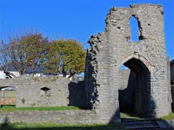 Barry CastleRuins · 2.7 mi
 Garden of RemembranceMemorial · 3.1 mi
 Battle of CastlebarMajor battlefield · 3.6 mi
 Kinturk CastleCastle · 3.7 mi
 Pirate QueenHeritage attraction · 7.1 mi