What is recorded here
You can still see the Burnt Mound in Castletownsend, a 23-metre ridge of black sand and hot stone beside the Church of St Barrahane. People may have heated water there for cooking, cleaning or ritual before the church existed. The mound survived under topsoil until road works opened it again, proving that ordinary ground can hide whole lives.
Discovered as a result of archaeological testing under licence 19E0184 in advance of a proposed sewerage scheme and waste water treatment plant construction at Castletownshend. Adjacent the northern boundary of the Church of St Barrahane and associated graveyard, (CO142-079002-) prehistoric archaeology was exposed in the form of a well preserved burnt mound. It was just below the topsoil and its characteristic mound is still visible in the landscape. The burnt mound measures 23m x 13m and a test pit excavated through the mound indicates that it has a depth of 0.50m. The burnt mound was visible as a deposit of black silty sand which had frequent inclusions of heat affected sandstone fragments.
Compiled by: Yvonne Whitty
Date of upload/revision: 10 March 2022
Burnt mound in Castletownsend is a Bronze Age ritual or industrial site, characterised by heated stones and possible water management features. Its discovery contributes to understanding of early land use and settlement patterns in the region.
The monument record does not grant public access. Check the route and ask the landowner before entering private land.
- What survives
- Recorded monument
Places near here
 Saint Barrahane's Church (Castlehaven)church/chapel · 72 yd
 The Castlefolly · 75 yd
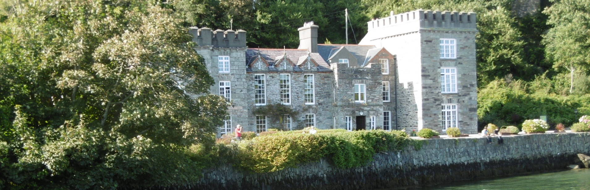
 Castle TownshendCastle · 128 yd
 SycamoreSycamore · 214 yd
 Bayard Warren PlaqueMemorial · 237 yd
 Fort (in Ruins)Bastioned fort · 302 yd
 Cat IslandIslet · 350 yd
 CarraigínBeach / strand · 453 yd
 CuaisínBeach / strand · 534 yd
 Battle of CastlehavenMemorial · 557 yd
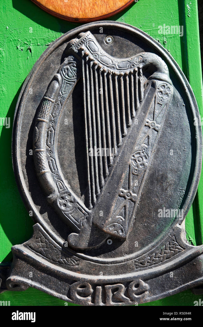 The Irish RM PlaqueMemorial · 574 yd
 Peggy's MeadowWood · 980 yd