What is recorded here
Situated at the bottom of a steep E-facing slope. Archaeological testing (22E0863) by T. McHugh of an area selected for soil storage identified three burnt mounds in a relatively small area of c. 1.25 hectares https://excavations.ie/report/2022/Cavan/0031892/ This feature (site 1) is a spread of charcoal-enriched soil and heat-affected stones (dims 4m x 4m) and burnt mound (CV026-068002-) is 5m to the SW. All the features will be preserved in situ beneath a geotextile layer and introduced soil. (McHugh 2022, 19, 20)
Compiled by: Michael Moore
Date of upload: 25 January 2023
McHugh, T. 2022 Archaeological testing for a proposed development at Cargagh, Co. Cavan. Licence: 22E0863. Unpublished report, Fadó Archaeology
Burnt mound, likely dating to the Bronze Age. These features are commonly associated with ritual or domestic activities involving heat, such as cooking or ceremonial practices.
The monument record does not grant public access. Check the route and ask the landowner before entering private land.
- What survives
- Recorded monument
Places near here
 Cromwell's CampArchaeological place · 1523 yd
 Site of Saint Davnet's ChapelArchaeological place · 1.0 mi
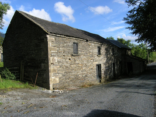 mill (water)mill (water) · 1.1 mi
 Ancient Order of Hibernians MemorialMemorial · 1.3 mi
 AghadreenaghMountain / peak · 1.5 mi
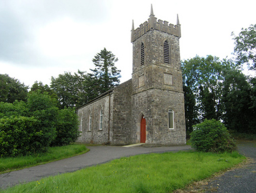 Lavey Church of Ireland Churchchurch/chapel · 1.6 mi
 Raven's RockNamed rock · 2.0 mi
 CarrickatoberMountain / peak · 2.1 mi
 To The Memory of P.J. DukeMemorial · 2.4 mi
 Killymeehan ForestForest · 2.6 mi
 Derry ForestForest · 2.9 mi
 Carricknagore RockNamed rock · 3.6 mi