What is recorded here
Situated at the bottom of a steep E-facing slope. Archaeological testing (22E0863) by T. McHugh of an area selected for soil storage identified three burnt mounds in a relatively small area of c. 1.25 hectares https://excavations.ie/report/2022/Cavan/0031892/ This feature (site 2) is a spread of charcoal-enriched soil and heat-affected stones (dims 3.3m N-S; 2.2m E-W) that extended outside the exposed area to the S. Burnt mound (CV026-068003-) is 5m to the NE. All the features will be preserved in situ beneath a geotextile layer and introduced soil. (McHugh 2022, 21, 22)
Compiled by: Michael Moore
Date of upload: 25 January 2023
McHugh, T. 2022 Archaeological testing for a proposed development at Cargagh, Co. Cavan. Licence: 22E0863. Unpublished report, Fadó Archaeology
Burnt mound, likely dating to the Bronze Age. These features are commonly associated with ritual or industrial activities, such as heat-treated stone use in cooking or hide-scalding.
The monument record does not grant public access. Check the route and ask the landowner before entering private land.
- What survives
- Recorded monument
Places near here
 Cromwell's CampArchaeological place · 1515 yd
 Site of Saint Davnet's ChapelArchaeological place · 1.0 mi
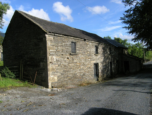 mill (water)mill (water) · 1.1 mi
 Ancient Order of Hibernians MemorialMemorial · 1.3 mi
 AghadreenaghMountain / peak · 1.5 mi
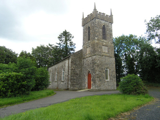 Lavey Church of Ireland Churchchurch/chapel · 1.6 mi
 Raven's RockNamed rock · 2.0 mi
 CarrickatoberMountain / peak · 2.0 mi
 To The Memory of P.J. DukeMemorial · 2.5 mi
 Killymeehan ForestForest · 2.6 mi
 Derry ForestForest · 2.9 mi
 Carricknagore RockNamed rock · 3.6 mi