What is recorded here
In rough pasture which was converted to forestry in 2016, located on lowlying ground sloping to S towards an area of marshy ground. There is a steam c. 13m to NW. This burnt mound was discovered in April 2016 during archaeological monitoring of a private forestry plantation. There was no evidence of the mound at ground surface but a layer (L 11m NE−SW; D 0.3-0.35m) of burnt stone and charcoal was exposed in section at a depth of 0.35m below surface on both sides of a forestry trench (Wth c. 1m). This area was excluded from planting to protect the monument. (Pers. comm. Angela Wallace, consultant archaeologist, May 2016).
Compiled by: Jane O'Shaughnessy
Date of upload: 5 May 2016
Burnt mound, likely dating to the Neolithic or Early Bronze Age. Such features are commonly associated with domestic or ritual activity, though their exact function remains debated.
The monument record does not grant public access. Check the route and ask the landowner before entering private land.
- What survives
- Recorded monument
Places near here
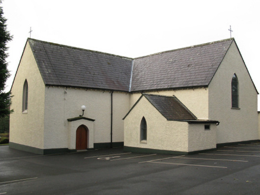 Catholic Church of Saint Thomas the Apostlechurch/chapel · 1119 yd
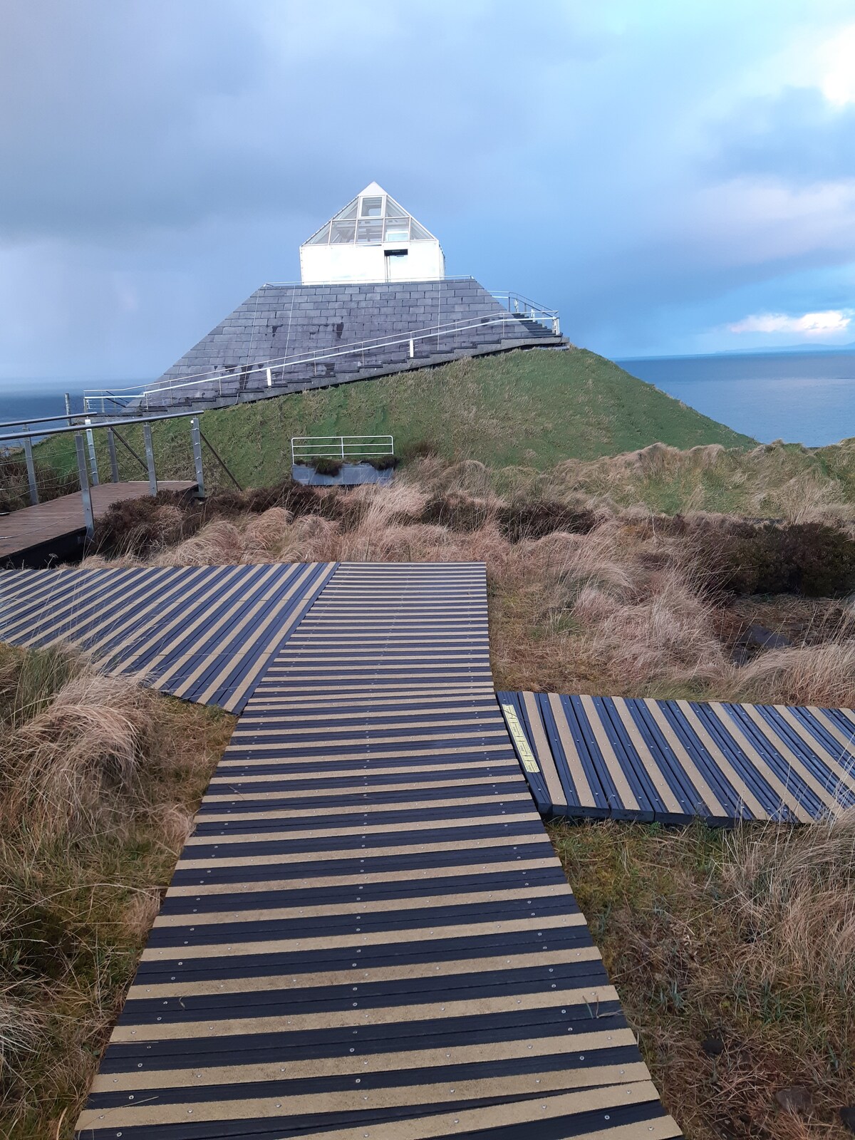 Enclosure in CuildooEnclosure · 1328 yd
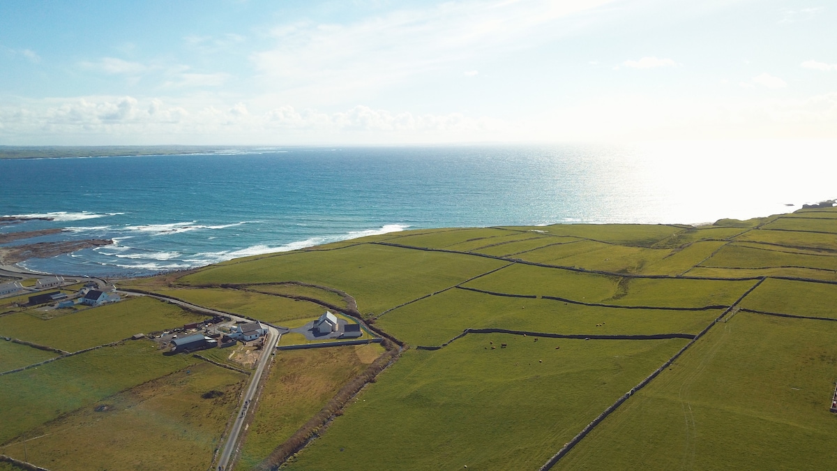 InidcatedFairy fort / earthen ringfort · 1656 yd
 Church in CloonygowanChurch · 1.2 mi
 Hennigan's Heritage CentreHeritage attraction · 1.6 mi
 Castle (in Ruins)Castle, unclassified · 1.7 mi
 HawthornHawthorn · 2.0 mi
 Bawn in ToomoreBawn · 3.1 mi
 Admiral William BrownMemorial · 3.6 mi
 Foxford Woollen MillsHeritage attraction · 3.7 mi
 Youth Memorial GardenMemorial · 3.8 mi
 Brabazon WoodsForest · 4.3 mi