What is recorded here
In a natural peat basin bordered to N and S by eskers. Part (L 6.8m) of this burnt mound was exposed in a roadside pipe trench (Wth 0.9m) during works on the Lough Mask Regional Water Supply Scheme (2001-2002). It was recorded and sampled under licence 01E0314 (Guinan 2015, 104, 111-112). It consisted of a compact layer (T 0.3m) of burnt stone and charcoal which extended beyond the wayleave into the road verge to S and under the road to N. The pipeline was diverted to S into a pre-existing land drain, and the burnt mound was preserved in situ. A flint flake was recovered from the burnt layer, and a charcoal sample was retrieved for radiocarbon dating, which produced a Middle Bronze Age date (3223+/- 38 BP (1610-1425 BC)). (Guinan 2015, 111-112).
Compiled by: Jane O’ Shaughnessy
Date of upload: 22 February 2016
Burnt mound in Branraduff is a Bronze Age ritual or domestic feature, dating to approximately 2000–800 BCE. Its location within a peat basin and association with esker formations suggests it may have been part of a broader landscape of seasonal activity or water management.
The monument record does not grant public access. Check the route and ask the landowner before entering private land.
- What survives
- Recorded monument
Places near here
 Enclosure in Ballindine WestEnclosure · 778 yd
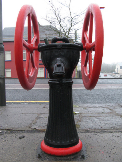 water pumpwater pump · 1261 yd
 Enclosure in WoodstockEnclosure · 1435 yd
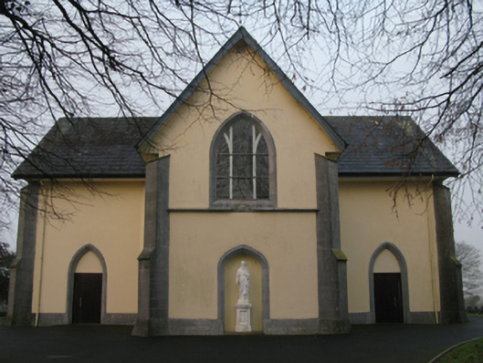 Saint Joseph's Catholic Churchchurch/chapel · 1520 yd
 CastleCastle, unclassified · 1.4 mi
 Oak WoodForest · 2.1 mi
 Castlekeel (in ruins)Castle, unclassified · 2.2 mi
 Geoffrey's WoodForest · 2.7 mi
 Land of the GiantsHeritage attraction · 4.3 mi
 Mass RockNamed rock · 9.5 mi
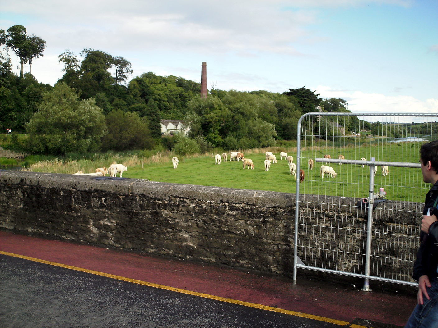 Enclosure in Lugalisheen NorthEnclosure · 1483 yd
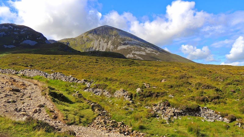 IndicatedEnclosure · 1529 yd