What is recorded here
This burnt mound was discovered beneath a road during works on the Lough Mask Regional Water Supply Scheme (2001-2002). It was recorded and sampled under licence 01E0314 (Guinan 2015, 112-113). A thin layer (L 4.6m; T 0.1m) of burnt sandstone and charcoal was visible in section in a pipe trench at a depth of 0.35m below the road surface. It overlay natural boulder clay and appeared to extend further to N and S beneath the road. It was preserved in situ. A flint flake was recovered from the layer, and a charcoal sample, retrieved for radiocarbon dating, produced a Late Neolithic Age date (4095+/- 50 BP (2790-2550 BC)). (Guinan 2015, 112-113).
Compiled by: Jane O’ Shaughnessy
Date of upload: 22 February 2016
Burnt mound in Ballindine East is a Neolithic ritual or domestic feature, dating to approximately 4000–2500 BCE. Its significance lies in providing evidence of early human activity and land use in the region during the Neolithic period.
The monument record does not grant public access. Check the route and ask the landowner before entering private land.
- What survives
- Recorded monument
Places near here
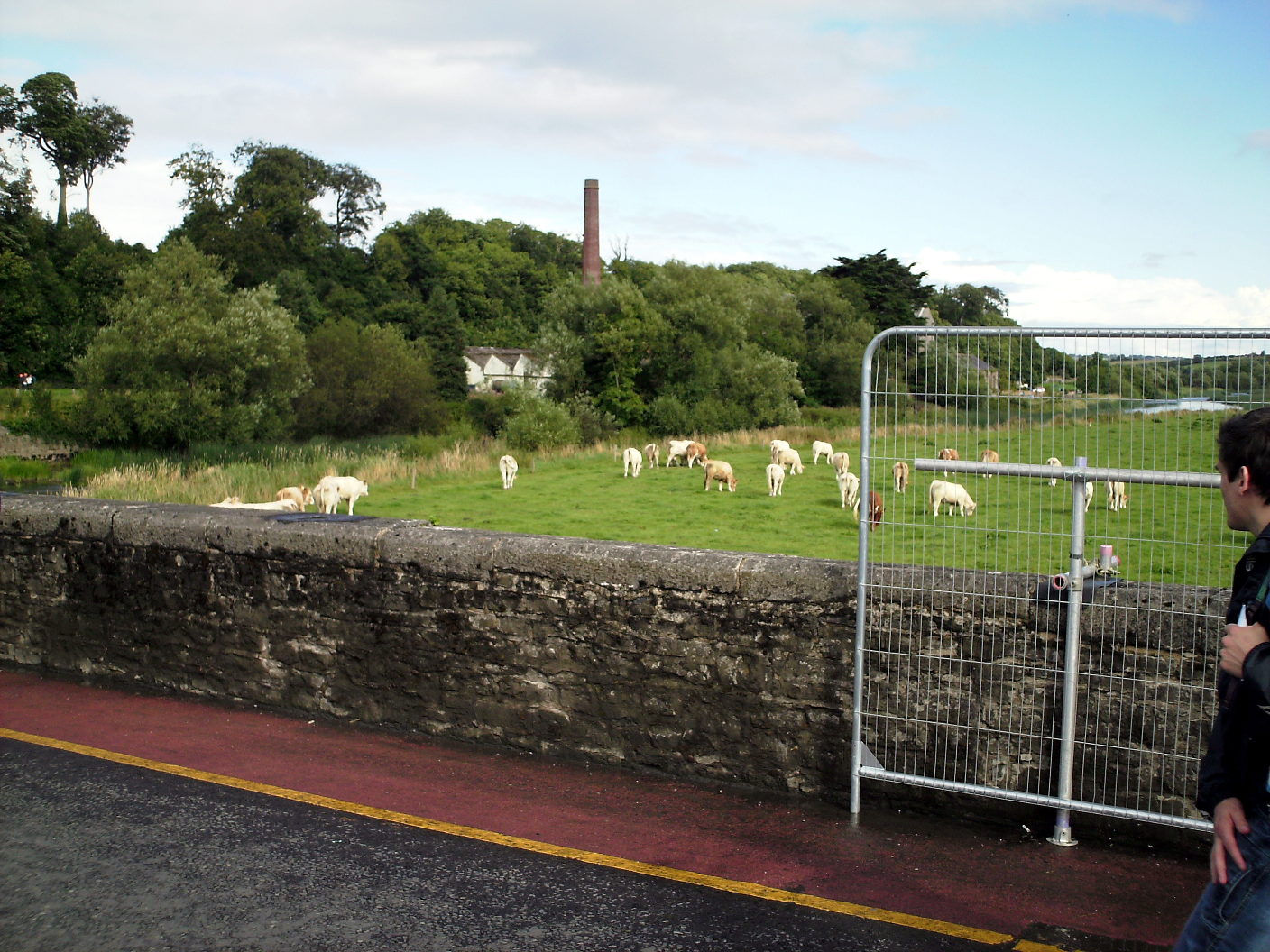 Enclosure in Lugalisheen NorthEnclosure · 497 yd
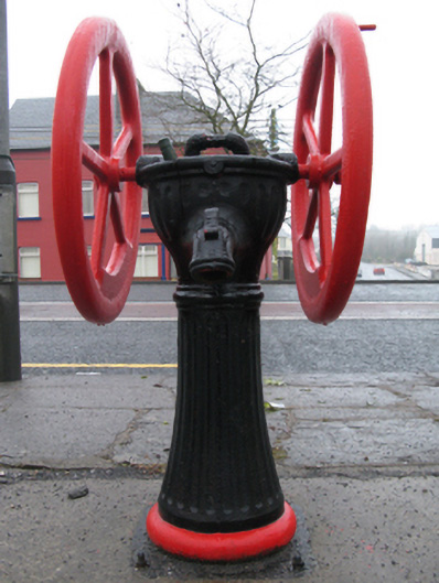 water pumpwater pump · 527 yd
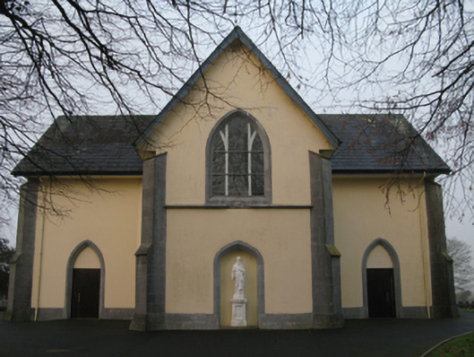 Saint Joseph's Catholic Churchchurch/chapel · 687 yd
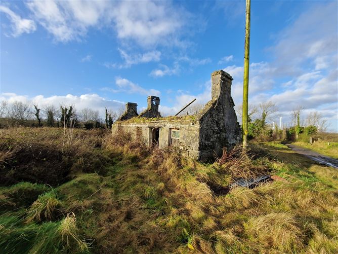 Enclosure in Ballindine NorthEnclosure · 869 yd
 CastleCastle, unclassified · 1.1 mi
 Oak WoodForest · 1.5 mi
 Castlekeel (in ruins)Castle, unclassified · 1.6 mi
 Geoffrey's WoodForest · 2.1 mi
 Land of the GiantsHeritage attraction · 3.7 mi
 Mass RockNamed rock · 10.0 mi
 Enclosure in Ballindine WestEnclosure · 913 yd
 Enclosure in WoodstockEnclosure · 1011 yd