What is recorded here
The official Northern Ireland record identifies this as BURNT MOUND / FULACHT FIADH & STRUCTURE. Recorded period: UNCERTAIN; PREHISTORIC; BRONZE AGE. The official map point was placed at the centre of the recorded archaeological site from the source map reference.
Bronze Age fulacht fiaḋh, possibly associated with a nearby structure. These sites are significant for their use in prehistoric cooking or ritual activities.
The monument record does not grant public access. Check the route and ask the landowner before entering private land.
- What survives
- Recorded monument
Places near here
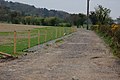 ENCLOSURE in BallybarnesENCLOSURE · 636 yd
 OVAL ENCLOSURE in Ballyskeagh HighOVAL ENCLOSURE · 1447 yd
 CairngaverMountain / peak · 1464 yd
 Kiltonga Nature ReserveNature reserve · 1.1 mi
 Cairn WoodForest · 1.4 mi
 Hardford LodgeOffice · 1.6 mi
 Newtownards Model Primary SchoolSchool · 1.6 mi
 Somme Heritage CentreMuseum · 2.0 mi
 PLANTATION HOUSE & BAWN: CASTLE GARDENS in NewtownardsPLANTATION HOUSE & BAWN: CASTLE GARDENS · 2.1 mi
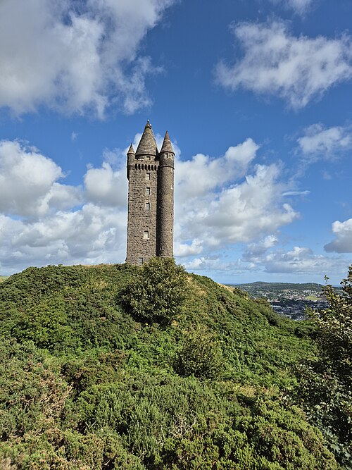 Scrabo TowerHeritage attraction · 2.2 mi
 Scrabo HillMountain / peak · 2.2 mi
 CASTLE in Commons (newtownards)CASTLE · 2.8 mi