What is recorded here
The official Northern Ireland record identifies this as BURNT MOUND / FULACHT FIADH. Recorded period: POST-MED. The official map point was placed at the centre of the recorded archaeological site from the source map reference.
A fulacht fia, dating to the Early Medieval period, typically used for cooking or industrial purposes; common across Ireland but often of local significance.
The monument record does not grant public access. Check the route and ask the landowner before entering private land.
- What survives
- Recorded monument
Places near here
 ENCLOSURES (2) in DerrybegENCLOSURES (2) · 824 yd
 ENCLOSURE in GlasmullaghENCLOSURE · 1533 yd
 Old Church RuinsRuins · 1759 yd
 Cleenish IslandIsland · 1.1 mi
 The Ice HouseHeritage attraction · 1.3 mi
 Castle CooleCountry House · 1.5 mi
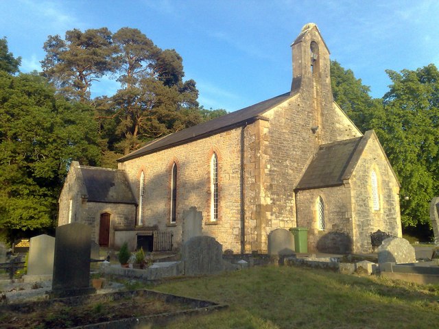 Derrybrusk Church (In ruins)Ruins · 1.5 mi
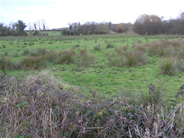 Knock IslandIsland · 1.7 mi
 Coneyburrow WoodWood · 1.9 mi
 Limekiln Bog WoodWood · 2.0 mi
 War MemorialMemorial · 2.4 mi
 Remembrance Day bombingbomb attack · 2.4 mi