What is recorded here
Hot water hissed across dark stones while people watched the mound grow. They may have brewed tea, cleaned tools or fed hungry hands before leaving the site behind. Centuries later a ditch cut the grass and a kiln breathed fire again, proving the land still craves transformation.
The official Northern Ireland record identifies this as Burnt Mound, early medieval pits, medieval ditch and kiln or furnace. Recorded period: BRONZE AGE; E.CHRIST.; MEDIEVAL. The official map point was placed at the centre of the recorded archaeological site from the source map reference.
Burnt Mound, early medieval pits, medieval ditch and kiln or furnace; dating from the Bronze Age to the Medieval period. This site reflects long-term human activity, including ritual or industrial use, and provides insight into domestic and technological practices across multiple eras in the region.
The monument record does not grant public access. Check the route and ask the landowner before entering private land.
- What survives
- Recorded monument
Places near here
 CROSS: CROSS HILL in Corporation (bangor)CROSS: CROSS HILL · 430 yd
 North Down MuseumMuseum · 652 yd
 Bangor CastleCastle · 696 yd
 Town HallTown Hall · 732 yd
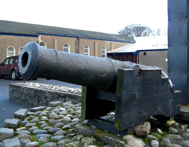 AUGUSTINIAN ABBEY : MALACHY'S WALL; BANGOR ABBEY in Corporation (bangor)AUGUSTINIAN ABBEY : MALACHY'S WALL; BANGOR ABBEY · 887 yd
 Bangor CenotaphMonument · 1122 yd
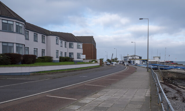 North Down Coastal PathVisitor information · 1549 yd
 Skippingstone BeachBeach / strand · 1.2 mi
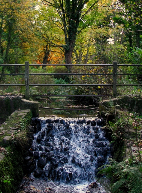 Stricklands GlenWood · 1.4 mi
 Brompton BayBeach / strand · 1.4 mi
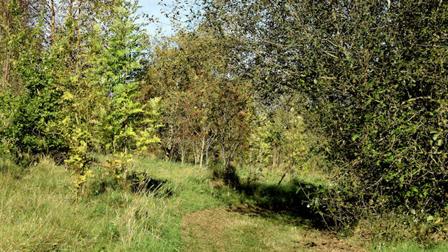 Kilcooley WoodWood · 1.5 mi
 Somme Heritage CentreMuseum · 2.6 mi