What is recorded here
The official Northern Ireland record identifies this as BURNT MOUND and TROUGHS. Recorded period: BRONZE AGE. The official map point was placed at the centre of the recorded archaeological site from the source map reference.
Bronze Age burnt mound and troughs; these features are associated with ritual or thermal activity and are significant as examples of early prehistoric water management or ceremonial practices.
The monument record does not grant public access. Check the route and ask the landowner before entering private land.
- What survives
- Recorded monument
Places near here
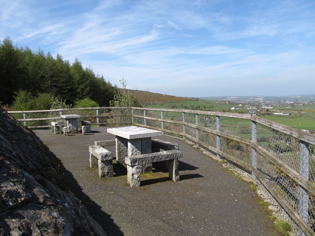 Bernish ViewpointViewpoint · 727 yd
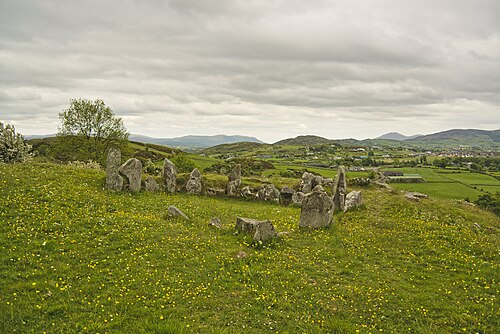 Ballymacdermott Court TombArchaeological place · 1235 yd
 COURT TOMB in BallymacdermotCOURT TOMB · 1236 yd
 Ballymacdermot MountainMountain / peak · 1330 yd
 Drumalane MillFactory · 1489 yd
 St. Catherine’s PrioryReligious House · 1586 yd
 Carlingford LoughVisitor information · 1609 yd
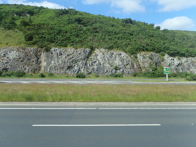 Cloghoge MountainMountain / peak · 1.2 mi
 Bagenal's CastleCastle · 1.2 mi
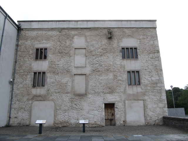 TOWER-HOUSE: BAGENAL'S CASTLE in NewryTOWER-HOUSE: BAGENAL'S CASTLE · 1.2 mi
 Newry and Mourne MuseumMuseum · 1.2 mi
 1971 Newry killingsmassacre · 1.3 mi