What is recorded here
Situated on a natural hillock in undulating grass-land, with marshy ground at S & SW side of hillock. Possible moated site (WM008-042----) 100m to NW and possible settlement earthworks of 'Old Brownstown' 100m to W. Depicted as a circular shaped earthwork on the 1837 ed. OS 6-inch map. Depicted as a sub-rectangular shaped earthwork on the 1911 ed. OS 25-inch map (approx. dims. 40m NW-SE x 28m NE-SW). No surface remains visible as the earthwork has been levelled. According to an ASI field report from 1975 the landowner found ‘two human graves side by side’ when bulldozing the site three years previously (1972). Levelled site visible as a cropmark on Digital Globe aerial photograph taken November 2011.
Compiled by: Frank Coyne and Caimin O'Brien
Date of upload: 20 April 2017
Bronze Age burial mound; dates to the first millennium BCE. Its location near possible settlement and defensive features suggests it may be associated with a broader ancient landscape of habitation and ritual.
The monument record does not grant public access. Check the route and ask the landowner before entering private land.
- What survives
- Recorded monument
Places near here
 Brownstown OldSettlement cluster · 146 yd
 IndicatedEnclosure · 1000 yd
 Archerstown Church in ruinsChapel · 1016 yd
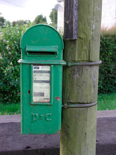 post boxpost box · 1083 yd
 Bawn in ArcherstownBawn · 1388 yd
 Bawn in Scurlockstown (delvin By.)Bawn · 1.1 mi
 The FurzeForest · 1.4 mi
 The Sloe HillMountain / peak · 1.8 mi
 Kells HillMountain / peak · 2.2 mi
 Bradley's WoodWood · 2.3 mi
 Castle IslandIslet · 4.6 mi
 South East GateHeritage attraction · 4.6 mi