What is recorded here
Located on a steep S-facing slope with part of the town wall of Kells at the top of the slope and the probable line of another N-S section of the town wall just to the E. Archaeological testing (01E1023) identified an extensive area (dims c. 50m E-W; c. 30m N-S), perhaps delimited by linear gullies at E and W, with human remains. Six W-E supine inhumations with the heads at W were in the topsoil (D 0.5-0.7m) and further inhumations may lie at a deeper level. The tested area has numerous linear features such as gullies and a large ditch running parallel with the N-S line of the town wall could be interpreted as a town ditch. Other features, including burnt mound material at four points and extraneous burials further to the W, were also noted. (Halpin and Doyle 2007)
Compiled by: Michael Moore
Date of upload; 26 February 2021
The monument record does not grant public access. Check the route and ask the landowner before entering private land.
- What survives
- Recorded monument
Places near here
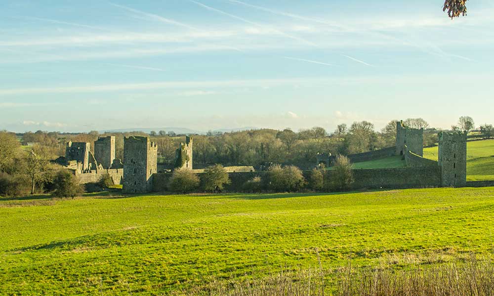 Religious houseReligious house, Augustinian canons · 139 yd
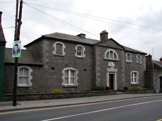 The Bridewellprison/jail · 148 yd
 James CarolanMemorial · 157 yd
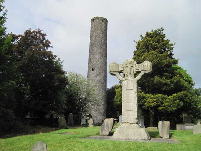 Kells Round TowerMemorial · 173 yd
 Round TowerRound tower · 176 yd
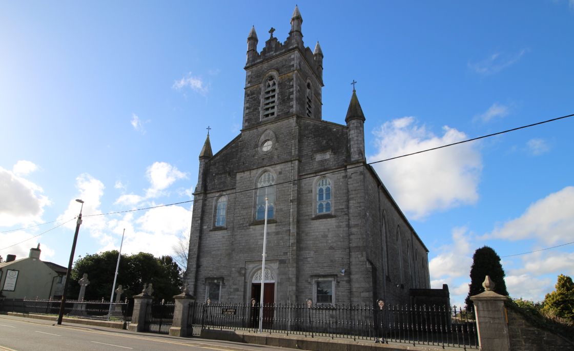 Font (present location) in Town Parks (kells Upper By.)Font (present location) · 218 yd
 CastleCastle, unclassified · 379 yd
 Lady's Well WoodForest · 1364 yd
 Tiermurrin WoodWood · 1372 yd
 Castle ruinsCastle · 1.6 mi
 MountainpoleMountain / peak · 1.9 mi
 BalreaskMountain / peak · 2.6 mi