What is recorded here
In pasture, located on the summit of a hill, close to the break of slope on the N side where there are excellent views NW−SE over the valley of the Rathroe River. To S, Nephin Mountain is visible, dominating the far horizon. This monument is evident as a sod-covered, linear mound (6m N−S; 1.75m E−W; H 0.5m). The mound appears to be predominantly earthen but incorporates small and medium-sized stones which protrude from the sod. A boulder (1.8m E−W; 1.3m N−S; H 0.6m) rests on top of the mound, towards its N end. The boulder is roughly rounded in cross-section, and has a flat top. According to local tradition, this is a grave, and is known by the name of ‘Máire’s Sow Mhór’ (phonetic spelling) (pers. comm. Mr. Seán Gilvarry, Rathroe, May 2016). The origin of this tradition is unknown. A low, subrectangular mound or possible burial ground (MA021-099001-) is located 6m to S. There is a rath (MA021-098----) c. 200m to NNW, a tower house (MA021-033----) c. 160m to NE.
Compiled by: Jane O’Shaughnessy
Date of upload: 17 June 2016
A Neolithic passage tomb; dating to the 4th–3rd millennium BCE. Its location on a prominent hill summit suggests ritual or ceremonial significance, typical of Neolithic funerary monuments in the region.
The monument record does not grant public access. Check the route and ask the landowner before entering private land.
- What survives
- Recorded monument
Places near here
 Rathroe CastleCastle · 203 yd
 RathmeelFairy fort / earthen ringfort · 1211 yd
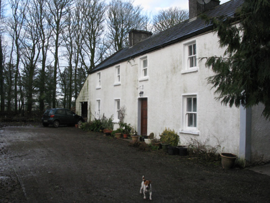 Doonanarroo Housefarm house · 1.0 mi
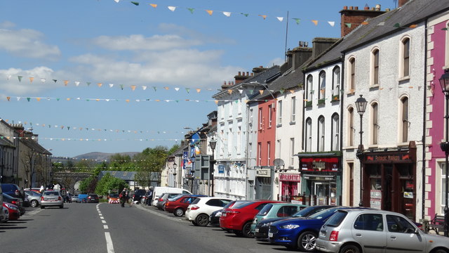 RathnagowlaFairy fort / earthen ringfort · 1.0 mi
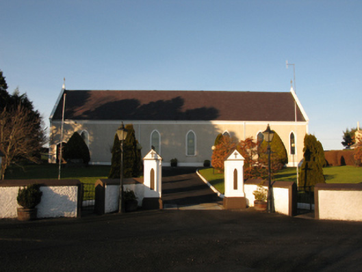 Catholic Church of the Sacred Heartchurch/chapel · 1.0 mi
 Carn Castle (in Ruins)Castle, unclassified · 1.3 mi
 Lisheen Grave YardArchaeological place · 3.9 mi
 Battle of Killalabattle · 4.4 mi
 Green IslandIslet · 4.8 mi
 Rinnaun PointHeadland · 5.2 mi
 TrabaunBeach / strand · 6.4 mi
 Grave of the KingsArchaeological place · 8.1 mi