What is recorded here
Kilbree Lower holds a burial marker, but the facts never reveal who sleeps there or when the hole was dug. That absence turns the field into a question rather than an answer. A person may have been laid to rest beside a road, a field or a forgotten boundary, while the names and dates worn away with the rain. The place still performs its purpose: it remembers that someone belonged there, even when the world stopped repeating their name.
The Archaeological Survey of Ireland (ASI) is in the process of providing information on all monuments on The Historic Environment Viewer (HEV). Currently the information for this record has not been uploaded. To access available information for research purposes please make an appointment in advance with the Archive Unit (open Fridays 10.00 am – 5.00 pm), Department of Housing, Local Government and Heritage, The Custom House, Dublin 1 D01W6XO or email NMarchive@housing.gov.ie.
The monument record does not grant public access. Check the route and ask the landowner before entering private land.
- What survives
- Recorded monument
Places near here
 Enclosure in Kilbree LowerEnclosure · 527 yd
 Enclosure in DoonEnclosure · 1377 yd
 Kilbride Church (in ruins)Church · 1379 yd
 farm housefarm house · 1.2 mi
 Carney's Cottage 1863Memorial · 3.4 mi
 Famine MemorialMemorial · 3.5 mi
 BaldcypressBaldcypress · 4.2 mi
 Pirate QueenHeritage attraction · 4.3 mi
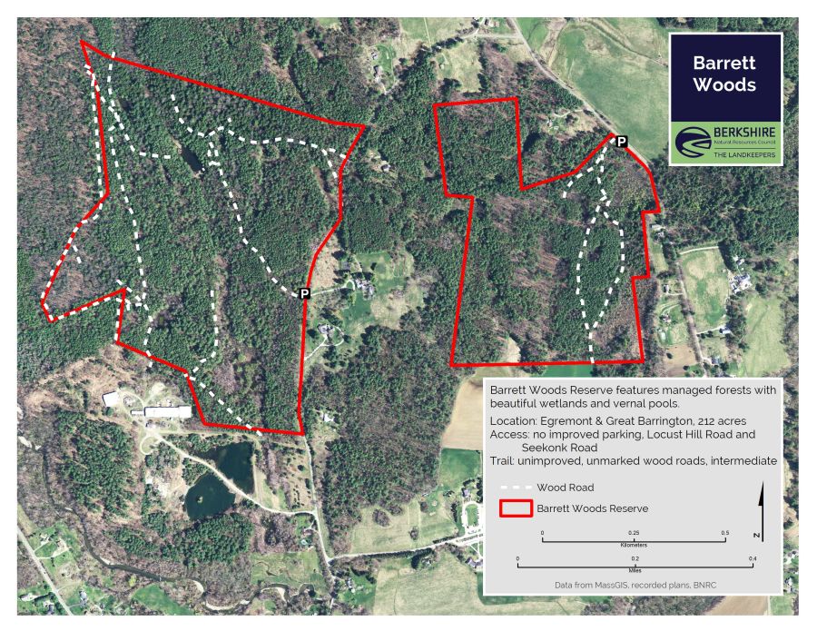 Barrett's WoodWood · 4.8 mi
 Barrett's HillMountain / peak · 4.9 mi
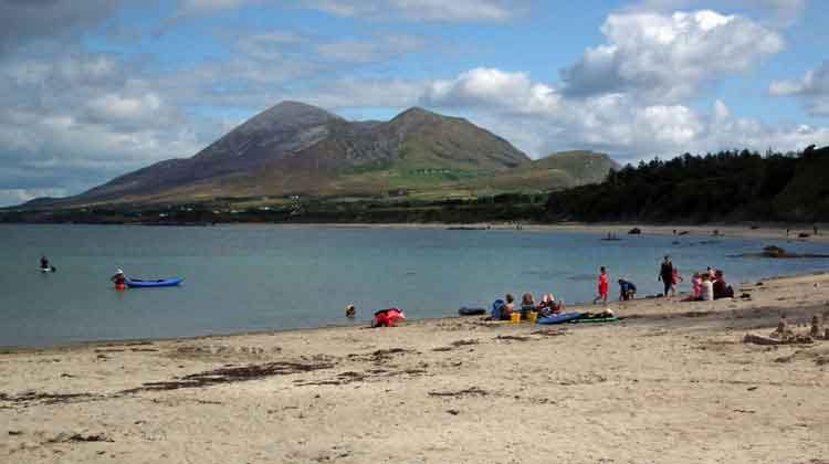 Garvillaun PointHeadland · 4.9 mi
 Clew Bay Heritage CentreMuseum · 5.0 mi