What is recorded here
Irish mythology and legend refer to the area now called County Dublin as Leinster. Leinster stretches across the eastern and south-eastern part of Ireland. It contains Dublin, Wicklow, Wexford, Carlow and Kildare. The province faces the Irish Sea and the Atlantic Ocean. Much of Leinster is lowland farmland, but the east holds several highland regions. The Wicklow Mountains rise along the southern edge. The Bluestacks and Slieve Bloom form the western highlands. The Barrow, Scaraw
Discovered in 1868 during ploughing (1866-9, 332-4). Comprises an extended inhumation contained in a long cist formed of drystone walling (L 2m, Wth 0.45m) covered with stone lintels. It is oriented E-W with the head resting on small square flags at the W end.
Compiled by: Geraldine Stout
Date of upload: 26 August 2011
Early Christian long cist burial, 6th–8th century AD. Its orientation and construction reflect typical funerary practices of the period, indicating a possible local Christian settlement or early monastic influence in the area.
The monument record does not grant public access. Check the route and ask the landowner before entering private land.
- What survives
- Recorded monument
Places near here
 St. Nessans ChurchChurch · 128 yd
 Ireland's EyeIslet · 210 yd
 Holy well in Irelands EyeHoly well · 314 yd
 Ireland's Eye Martello Towermartello tower · 472 yd
 Martello TowerMartello tower · 472 yd
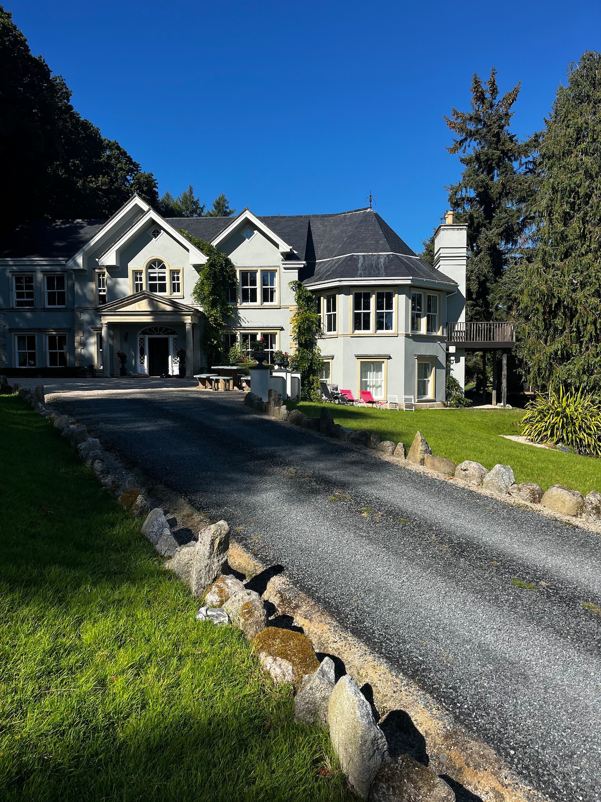 ThullaIslet · 771 yd
 George IV's footstepsMemorial · 1684 yd
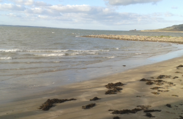 Claremont BeachBeach / strand · 1.2 mi
 Howth Tourism Information KioskVisitor information · 1.2 mi
 The Old CourthouseHeritage attraction · 1.3 mi
 Ye Olde Hurdy-Gurdy (Museum of Vintage Radio)Heritage attraction · 1.3 mi
 Cliffs of HowthViewpoint · 1.5 mi