What is recorded here
Located at the top of a steep W-facing slope down to the N-S River Barrow/Nore and within the bank of ring-work (WX039-028001-), while the site of a leper hospital (WX039-028005-) is c. 80m to the NW. Burials in a disturbed state were uncovered along a N-S trench in 1979. The burial of two adults, a male and a female that was protected in a stone compartment, was investigated (Cahill 2011). The grave (int. dims c. 2.1m; Wth 0.3-0.5m; H c. 0.4m) had mortared stone sides covered by one or two slabs and slabs also formed the floor, creating a form of sarcophagus. The skeletal material was sparse, but neither showed evidence of leprosy.
Compiled by: Michael Moore
Date of upload: 28 January, 2013
The monument record does not grant public access. Check the route and ask the landowner before entering private land.
- What survives
- Recorded monument
Places near here
 IndicatedCastle, ringwork · 18 yd
 CastleRuins · 106 yd
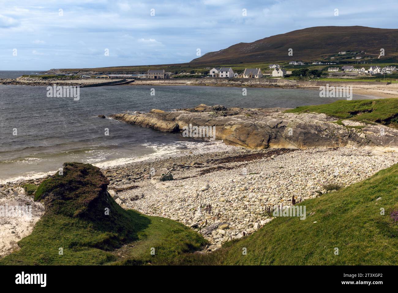 Embanked enclosureEnclosure, large enclosure · 303 yd
 Barrow Bridgebridge · 734 yd
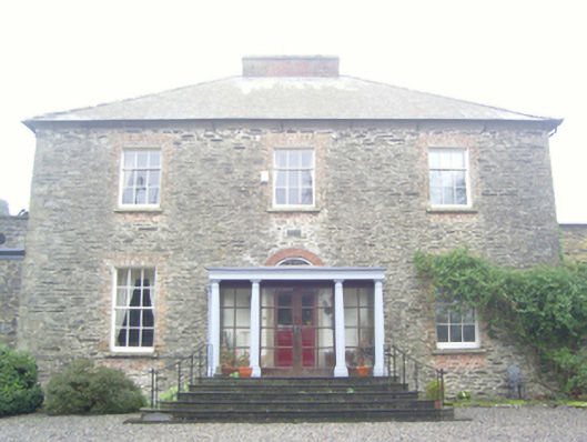 Kilmokea Houserectory/glebe/vicarage/curate's house · 1188 yd
 (Site of) Kilmilea ChurchChurch · 1217 yd
 Goat IslandIsland · 1.1 mi
 Cheek PointHeadland · 1.2 mi
 The MinaunViewpoint · 1.5 mi
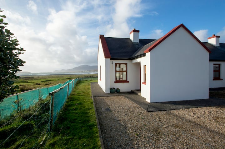 Minaun HillMountain / peak · 1.5 mi
 Dunbrody Abbey Hedge MazeHeritage attraction · 1.8 mi
 Dunbrody Abbey Visitor CentreHeritage attraction · 1.8 mi