What is recorded here
Priest's Grave, Valencia Island, County Kerry: two buried slabs cross like a dropped knife and ruler, perhaps marking one dead man or pretending to. Pasture grass has long swallowed the edges, but the angle still cuts the field. A priest may have fallen there, or a child may have dragged stones into a shape that frightened adults into belief. Either way the island kept the shape and stopped asking questions.
This feature, locally known as the 'Priest's Grave', is situated on S sloping pastureland towards the SW end of Valencia Island. It consists of two deeply buried slabs set at right angles to one another. The larger, at N, measures 1.1m long and is aligned NNW-SSE; the smaller measures .7m long and runs NE-SW. This possible grave site is located in an area of the island known as 'Dysert' (OS map), but the site does not, however, appear to be of any great antiquity.
The above description is derived from A. O'Sullivan and J. Sheehan (compilers), 'The Iveragh peninsula: an archaeological survey of South Kerry'. Cork University Press (1996), no. 1465. In certain instances the entries have been revised and updated in the light of recent research.
Date of upload: 1 August 2013
A Neolithic portal dolmen; dating to approximately 3000–2500 BCE. Its significance lies in its association with early megalithic funerary practices in the region, reflecting the spiritual and social structures of Neolithic communities.
The monument record does not grant public access. Check the route and ask the landowner before entering private land.
- What survives
- Recorded monument
Places near here
 Cromwell's FortRuins · 406 yd
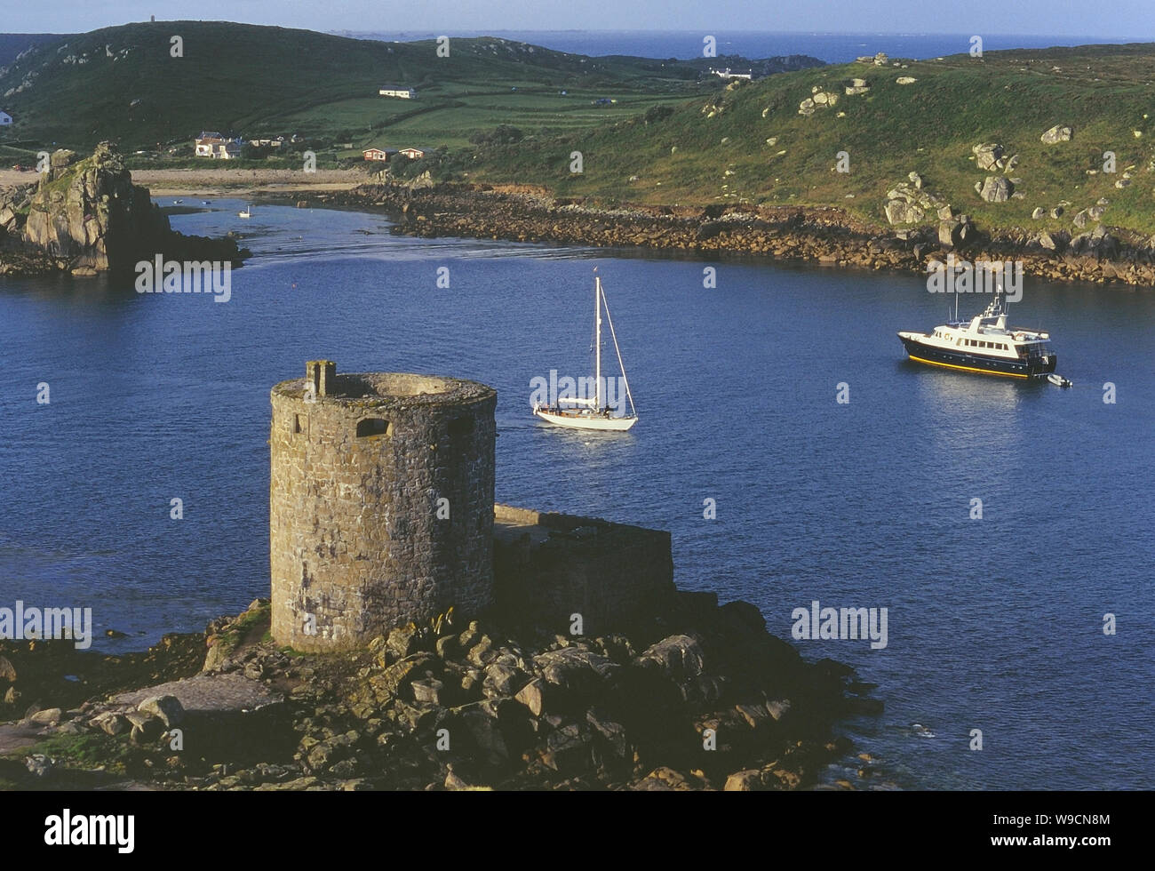 Cromwells Fort, Old Watch Tower (in ruins)Fortification · 427 yd
 Old Watch TowerRuins · 450 yd
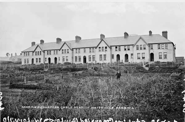 Anglo American Cable House, Telegraph FieldMonument · 539 yd
 Telegraph Field Valentia IslandMemorial · 621 yd
 Horse IslandIslet · 1299 yd
 Skellig Experience CentreMuseum · 1335 yd
 Long IslandIslet · 1.0 mi
 Beehive CellsHeritage attraction · 1.4 mi
 Culloo RockViewpoint · 1.8 mi
 Tobairin Holy WellSpring · 2.2 mi
 Sean LochaCliff · 2.4 mi