What is recorded here
Within rectangular area defined by stone wall (rendered) to E of Kilshane House and S of associated courtyard area. Rectangular area (dims.c. 20m N-S; c. 16m E-W) defined by stone wall (H 1.25m) (rendered). Entrance (Wth 1.75m) defined by square pillars (H 1.35m) with simple capstone (partly concrete) and closed by double wooden gate with cross form. Niche (dims. c. 2m N-S; c. 2m E-W) in S wall is former altar (H 0.7m), plain in style. Niche has pitched roof of slate with decorative eaves and pinnacle at apex on N-side. Niche closed by modern wooden double doors. Formerly a burial ground associated with Holy Ghost Order of Kilshane Seminary and named 'Burial Ground' on 1954 OS 6-inch map. According to present Estate Manager, two priests were buried here and they were removed decades ago and re-interred at Rockwell. Burial ground now a garden of repose. Unknown if other burials exist below present ground level. Kilshane Estate once owned by landlord by name of Lowe during the 18th century and passed to the Holy Ghost Order thereafter who remained here until c. 20 years ago. Note possible grave marker c. 15m due N of burial ground in garden area, beside large rotary quern stone.
Compiled by: Jean Farrelly
Date of upload: 26 August 2011
The monument record does not grant public access. Check the route and ask the landowner before entering private land.
- What survives
- Recorded monument
Places near here
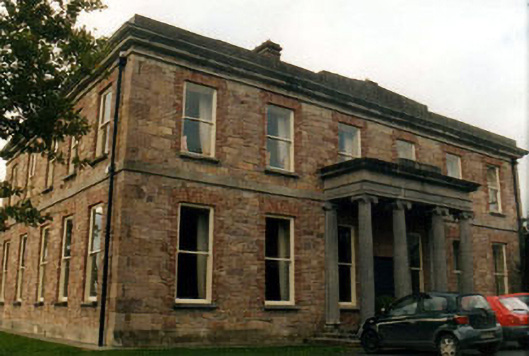 Kilshanecountry house · 166 yd
 Enclosure in SpringhouseEnclosure · 177 yd
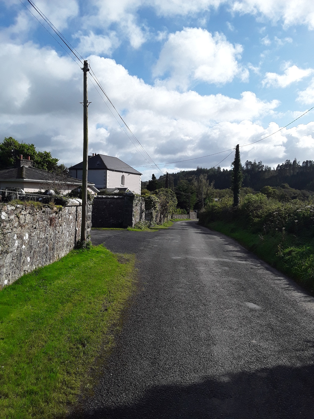 RathfaunEnclosure · 265 yd
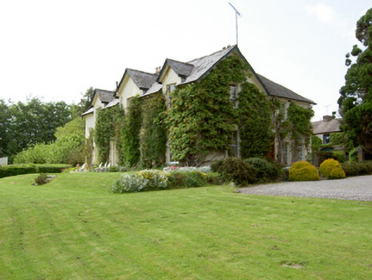 Arraghsleahouse · 732 yd
 IndicatedBawn · 889 yd
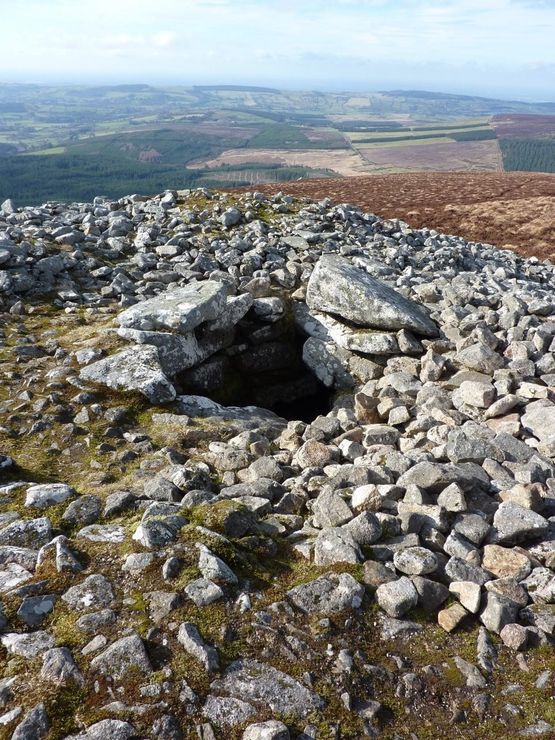 Site of Seefin CastleCastle, unclassified · 1028 yd
 European ashEuropean ash · 1.4 mi
 Bansha ForestForest · 1.5 mi
 I.R.A. 3rd. Tipperary Brigade MemorialMemorial · 2.2 mi
 It's a long way to TippereryHeritage attraction · 2.7 mi
 The Maid of ErinMemorial · 2.9 mi
 The RockViewpoint · 3.1 mi