What is recorded here
Tullyvoheen holds a Famine burial ground on a west-facing slope beside the eastern edge of Clifden. Local tradition identifies the small, almost square field, although no marker, hedge or mound remains visible. The absence does not diminish the place; it removes the excuse for forgetting. People died there, were laid to rest there, and the land continued holding them long after human hands stopped shaping its surface.
On a W-facing slope on E side of a lane way, on E outskirts of Clifden town. Local tradition points out this small, almost square, field as the site of a Famine burial ground. No visible surface trace survives.
The above description is derived from the published 'Archaeological Inventory of County Galway Vol. I - West Galway'. Compiled by Paul Gosling (Dublin: Stationery Office, 1993).
Date of upload: 05 August 2010
The monument record does not grant public access. Check the route and ask the landowner before entering private land.
- What survives
- Recorded monument
Places near here
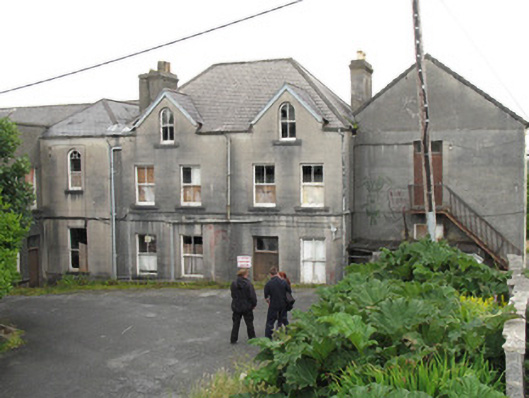 Saint Joseph's Conventschool · 826 yd
 Station House MuseumMuseum · 900 yd
 Clifden Railway Stationlocomotive shed · 900 yd
 Court Ho.Courthouse · 1003 yd
 Monum.Monumental structure · 1016 yd
 Lavelle Art GalleryGallery · 1101 yd
 Abbeyglen Castle HotelCastle · 1.1 mi
 Alcock and Brown Atlantic CrossingMemorial · 2.0 mi
 Boolard IslandIslet · 2.8 mi
 English hollyEnglish holly · 3.7 mi
 HawthornHawthorn · 3.7 mi
 Long IslandIslet · 3.8 mi