What is recorded here
Reilig an Teampaill is a buried chamber and stone circle hidden beneath a low grassy ridge in County Kerry. The chamber has no visible doorway, but the chamber ceiling still stands and the circle stones remain set in a broken ring. The graveyard above belongs to the Christian church, yet the older chamber and circle suggest the land was sacred before the church claimed it. People may have stopped visiting when the church took the hill, or they may have kept burying their dead beneath the grass because the older place still felt alive.
This burial ground lies only c. 65m to S of Ballywiheen church and graveyard (KE042-103001-), in the neighbouring townland of Ballineanig-Churchquarter. It is known locally as Reilig an Teampaill though the names Reilig an Draghbháil (An Seabhac 1939, 108) and An Reilig Bheag (O'Sullivan 1931, 521) have also been applied to it.
The present remains abut the N side of an E-W field wall and consist of a rectangular platform raised a maximum of 1.5m above the external ground level. The platform measures 36m E-W x 24m N-S and its upper surface is uneven and overgrown. Some traces of walling along its E edge and at the NE corner may be related to the field fence which formerly delimited this side of the enclosure (2nd edition of OS map). A couple of stony mounds near the NW corner and a mound of rubble at the NE corner probably consist of field clearance debris. Three hollows occur along the N edge of the site. They range from 2 to 5m in diameter and from .35 to .5m in depth and, though no walling is discernible, it is possible they mark the locations of hut sites. The N sides of the hollows appear to be truncated; it is possible that the site was formerly more extensive, and that part of its N portion has been destroyed.
The only features visible in the interior are 2 low uprights and a line of 3 stones set on edge with a 4th stone set on edge about 1.2m E of the S end of the line. The upright stones stand 4.2m apart in the centre of the site and are .6m and .3m high. The taller stone has an almost circular notch on its upper edge. The line of stones on edge lie 1.1m E of the holed stone.
The above description is derived from J. Cuppage, ‘Corca Dhuibhne. Dingle Peninsula archaeological survey. Ballyferriter. Oidhreacht Chorca Dhuibhne’ (1986), no. 892. In certain instances the entries have been revised and updated in the light of recent research.
Date of upload: 7 August 2013
This remains an important historical record, but the official description says the monument is no longer visible or has been destroyed. The monument record does not grant public access. Check the route and ask the landowner before entering private land.
- What survives
- No visible remains or recorded as destroyed
Places near here
 Church (in ruins)Church · 93 yd
 Penitential station in Baile An BhaoithínPenitential station · 410 yd
 Ballineanig HillMountain / peak · 821 yd
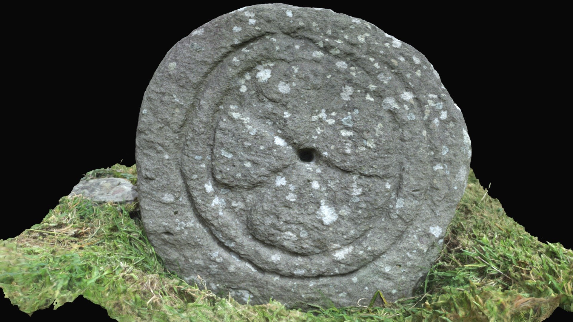 Cross in Baile An BhaoithínCross · 863 yd
 BallywiheenArchaeological place · 886 yd
 Riasc Monastic SettlementHeritage attraction · 1107 yd
 Músaem Chorca DhuibhneMuseum · 1162 yd
 St Brendan's WellSpring · 1313 yd
 Rahinnane Castle (in ruins)Castle, tower house · 1.3 mi
 Trá an FhíonaBeach / strand · 1.4 mi
 Cruach MhárthainMountain / peak · 1.7 mi
 Tráigh Bhéal BánBeach / strand · 1.7 mi