
What is recorded here
Old Burial Ground is a disused subcircular grave field on the west-facing foothills of Barraboy Mountain, marked on the 1842 OS map and still defined by small stones and embedded boulders. It is not a grand cathedral of death, but a quiet human arrangement: people lived nearby, lost someone, set stones in the slope, and left the field to rain, grass and time. Its strangeness is ordinary, which is why it sticks.
On foothills of Barraboy Mountain on W-facing slope. Marked 'Old Burial Ground' on OS 6-inch map (1842). Subcircular area (12m N-S; 16m E-W) defined by mass of small stones and embedded boulders, probably grave markers.
The above description is derived from the published 'Archaeological Inventory of County Cork. Volume 1: West Cork' (Dublin: Stationery Office, 1992). In certain instances the entries have been revised and updated in the light of recent research.
Date of upload/revision: 14 January 2009
The monument record does not grant public access. Check the route and ask the landowner before entering private land.
- What survives
- Recorded monument
Places near here
 Hut site in CanrooskaHut site · 437 yd
 Field boundary in CanrooskaField boundary · 1039 yd
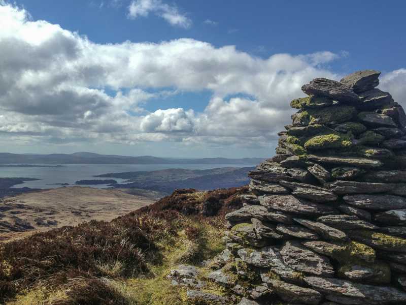 Barraboy Mountain SE TopMountain / peak · 1.0 mi
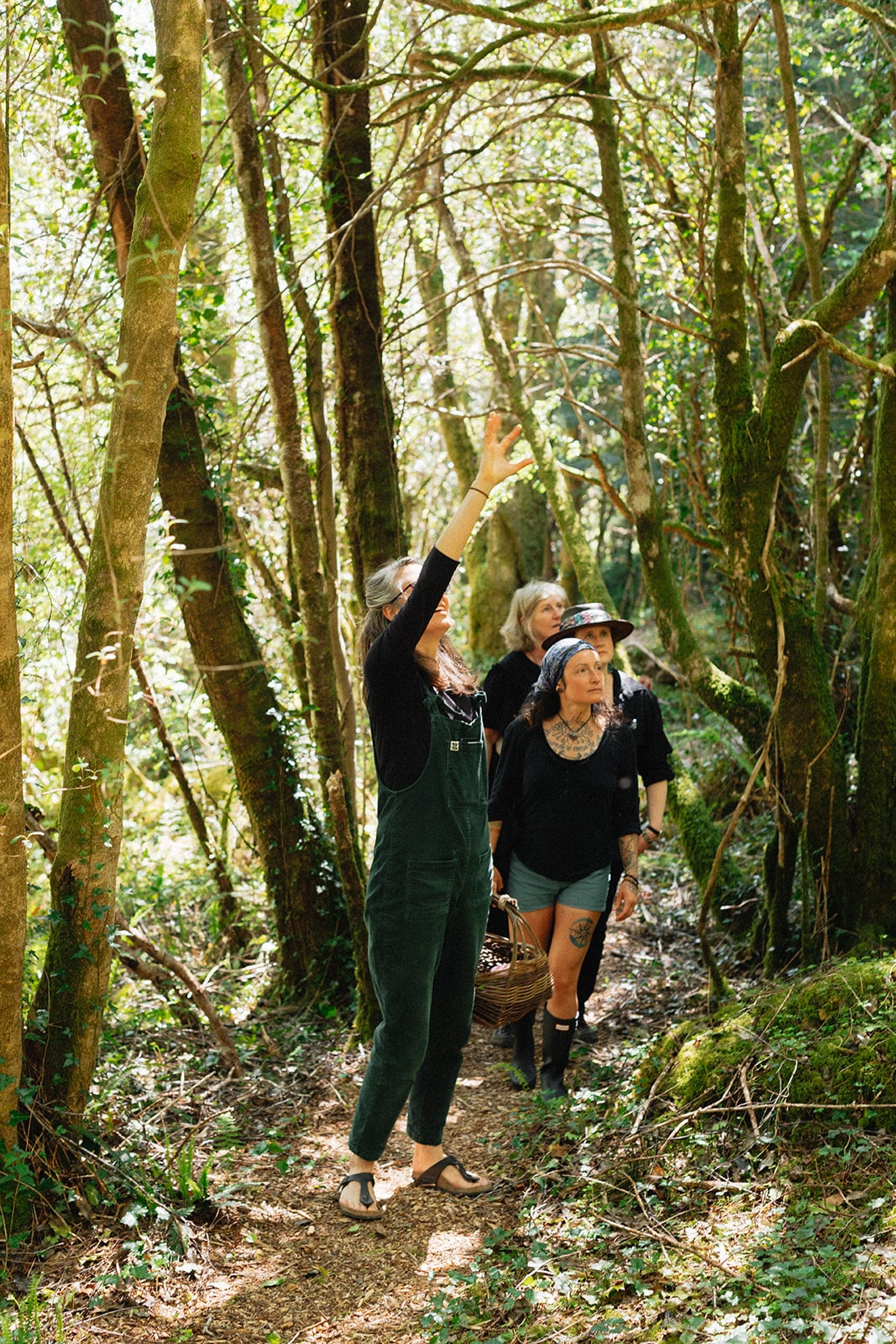 Esk MountainMountain / peak · 1.2 mi
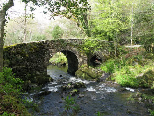 Glengarriff Nature Reservebridge · 1.5 mi
 Tasmanian bluegumTasmanian bluegum · 1.5 mi
 Glengarriff Eccles Hotelhotel · 1.6 mi
 Graveyard in CappyaughnaGraveyard · 1.7 mi
 The Blue PoolHeritage attraction · 1.7 mi
 Lady Bantry's LookoutViewpoint · 1.7 mi
 Glengarriff WoodsWood · 1.8 mi
 Friars IslandIslet · 1.8 mi
Other information
Photo: Credit not shown in the picture search · Rights wording not checked; contact us if this picture should be removed