What is recorded here
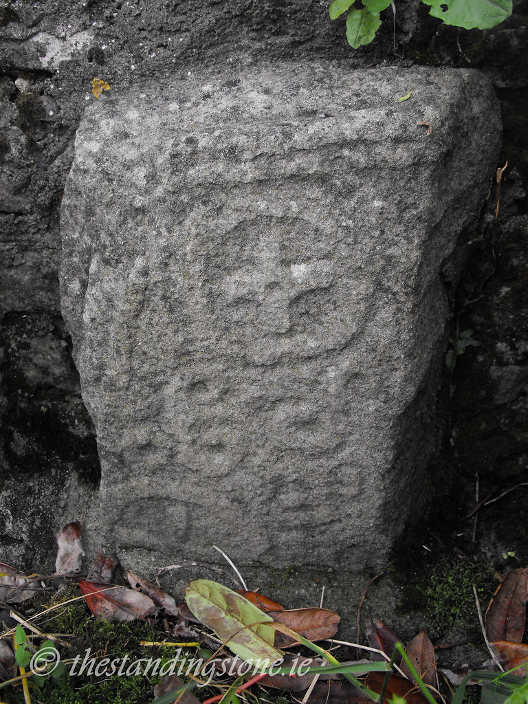
Marked on the 1841 edition of the OS 6-inch map as 'Old Graveyard'. A number of randomly placed, uninscribed grave-markers are visible on top of a natural hill, the summit of which appears to be artificially raised as a result of burials (pers. comm. Elizabeth FitzPatrick).
St Fintans Well (LA017-003003-) and Holy Tree (LA017-003004-) located to the N. Low motte or possible ringwork (LA017-003009-) located in field to SW. Another church (LA017-003001-) and graveyard (LA017-003002-) located in adjoinig field to the W. Sitiuated atop low hillock in undulating countryside with good views in all directions. This burial ground was dedicated to St Brigit as illustrated on Molloy's sketch of Clonenagh from c. 1813 (Manning 1998, 186). According to Manning 'slight traces of a mortared stone structure survive, probably a church (LA017-003023), and human bones are frequently unearthed here by burrowing animals' (Manning 1998, 186).
The above description is derived from the published 'Archaeological Inventory of County Laois' (Dublin Stationery Office, 1995) compiled by P. David Sweetman, Olive Alcock and Bernie Moran. In certain instances the entries have been revised and updated in the light of recent research.
Date of upload: 17 December 2007
The monument record does not grant public access. Check the route and ask the landowner before entering private land.
- What survives
- Recorded monument
Places near here
 Church in ClonenaghChurch · 1 yd
 SycamoreSycamore · 126 yd
 Ritual siteRitual site, holy tree/bush · 140 yd
 CastleCastle, motte · 188 yd
 Church (in Ruins)Church · 191 yd
 Church (Site of)Church · 603 yd
 Castle in ruins, Red Castle FortCastle, unclassified · 1.1 mi
 Sweet ChestnutSweet Chestnut · 4.1 mi
 BaunreaghcongMountain / peak · 6.4 mi
 Slieve Bloom MountainsMountain range · 8.7 mi
 ArderinMountain / peak · 9.9 mi
 Slieve Bloom WayWalking route · 11 mi