What is recorded here
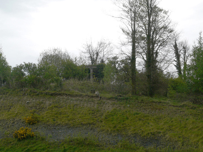
Situated on a hilltop known as Mullandoy (Livingstone 1966, 137) with higher hills to the N and S, and on the NE shore of Lough Muckno. The site of the original parish church of Muckno (MO020-020001-) is within a raised subcircular or oval graveyard (dims c. 60m NW-SE; c. 45m NE-SW) defined by the remnants of an earthen bank at W (Wth 2m; int. H 0.7m; ext. H 1.4m) but largely by a stone-faced scarp (H 1.2-1.4m), with mature deciduous trees on the perimeter. There is a gateway at W and the graveyard is protected by external iron railings. The few headstones date from c. 1790 to c. 1820 and have been recorded (ibid. 150-1) and part of the octagonal shaft (dims 0.24m x 0.24m; H 0.47m) of a font from the graveyard of Mullandoy has been acquired by Monaghan County Museum (Walsh 1983, 177).
Compiled by: Michael Moore
Date of revised upload: 30 November 2016
The monument record does not grant public access. Check the route and ask the landowner before entering private land.
- What survives
- Recorded monument
Places near here
 Church (in Ruins)Church · 16 yd
 Dairy HillMountain / peak · 212 yd
 Crane IslandIslet · 610 yd
 Otter Island (North)Islet · 692 yd
 Hope Castlegarden temple · 885 yd
 Lough MucknoLake and park landscape · 924 yd
 Fortification in ConcraFortification · 997 yd
 Blaney CastleCastle · 1.3 mi
 Bawn in OnomyBawn · 1.3 mi
 Big Tom Memorial StatueMemorial · 1.4 mi
 Fairy fort / earthen ringfort in AnnadrummanFairy fort / earthen ringfort · 1.5 mi
 John Francis GreenMemorial · 1.7 mi