What is recorded here
Muckno and Mullandoy are buried in that hill, not forgotten. The church is gone, the font sits in a museum, and the graveyard still holds its shape beside Lough Muckno. Stones from the late 1790s to the 1820s remain inside the old bank, while the living town has moved on around them.
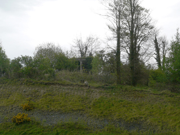
Situated on a hilltop known as Mullandoy (Livingstone 1966, 137) with higher hills to the N and S, and on the NE shore of Lough Muckno. The site of the original parish church of Muckno (MO020-020001-) is within a raised subcircular or oval graveyard (dims c. 60m NW-SE; c. 45m NE-SW) defined by the remnants of an earthen bank at W (Wth 2m; int. H 0.7m; ext. H 1.4m) but largely by a stone-faced scarp (H 1.2-1.4m), with mature deciduous trees on the perimeter. There is a gateway at W and the graveyard is protected by external iron railings. The few headstones date from c. 1790 to c. 1820 and have been recorded (ibid. 150-1) and part of the octagonal shaft (dims 0.24m x 0.24m; H 0.47m) of a font from the graveyard of Mullandoy has been acquired by Monaghan County Museum (Walsh 1983, 177).
Compiled by: Michael Moore
Date of revised upload: 30 November 2016
The monument record does not grant public access. Check the route and ask the landowner before entering private land.
- What survives
- Recorded monument
Places near here
 Church (in Ruins)Church · 16 yd
 Dairy HillMountain / peak · 212 yd
 Crane IslandIslet · 610 yd
 Otter Island (North)Islet · 692 yd
 Hope Castlegarden temple · 885 yd
 Lough MucknoLake and park landscape · 924 yd
 Fortification in ConcraFortification · 997 yd
 Blaney CastleCastle · 1.3 mi
 Bawn in OnomyBawn · 1.3 mi
 Big Tom Memorial StatueMemorial · 1.4 mi
 Fairy fort / earthen ringfort in AnnadrummanFairy fort / earthen ringfort · 1.5 mi
 John Francis GreenMemorial · 1.7 mi