What is recorded here
No visible marker remains, only a hidden line in the western soil where Mayo buried its dead before roads or churches claimed the field. The ground may still hold bones, pottery or forgotten prayers beneath grass and rain. To dig there is to interrupt a long conversation between the living and the gone.
The Archaeological Survey of Ireland (ASI) is in the process of providing information on all monuments on The Historic Environment Viewer (HEV). Currently the information for this record has not been uploaded. To access available information for research purposes please make an appointment in advance with the Archive Unit (open Fridays 10.00 am – 5.00 pm), Department of Housing, Local Government and Heritage, The Custom House, Dublin 1 D01W6XO or email NMarchive@housing.gov.ie.
The monument record does not grant public access. Check the route and ask the landowner before entering private land.
- What survives
- Recorded monument
Places near here
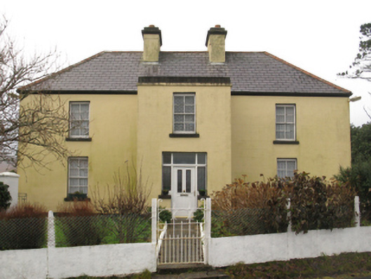 farm housefarm house · 453 yd
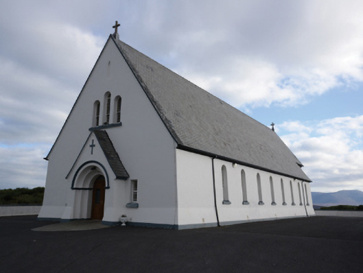 Saint Joseph's Catholic Churchchurch/chapel · 497 yd
 Bunacurry Franciscan MonasteryHeritage attraction · 551 yd
 Enclosure in Bun An ChurraighEnclosure · 1184 yd
 Holy well in An CaisealHoly well · 1.1 mi
 Wild Atlantic Way:Visitor information · 2.7 mi
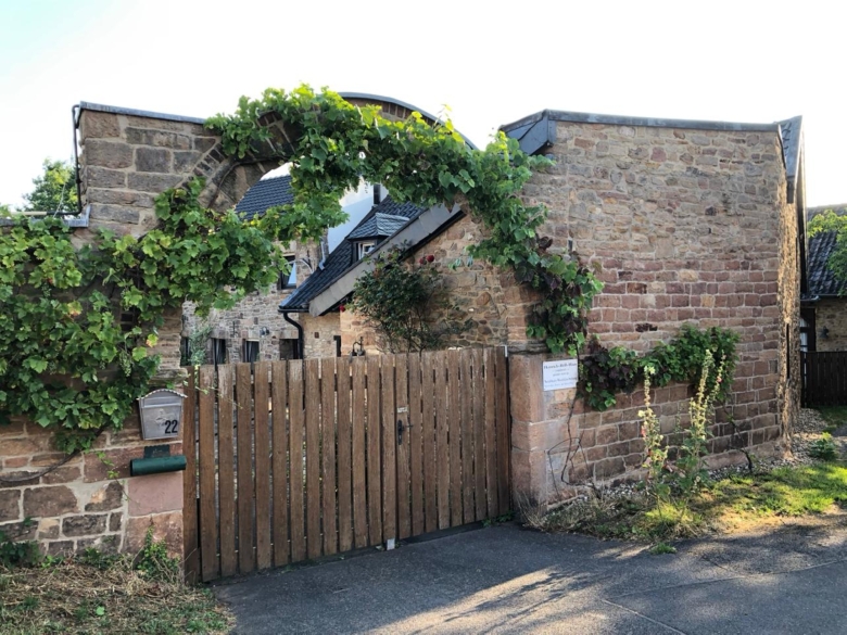 Heinrich-Böll-CottageHeritage attraction · 2.8 mi
 RinnaveelogeBeach / strand · 2.8 mi
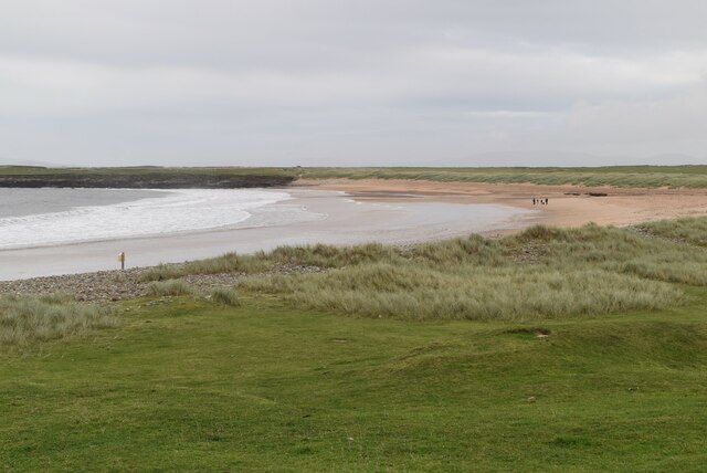 Golden StrandBeach / strand · 2.8 mi
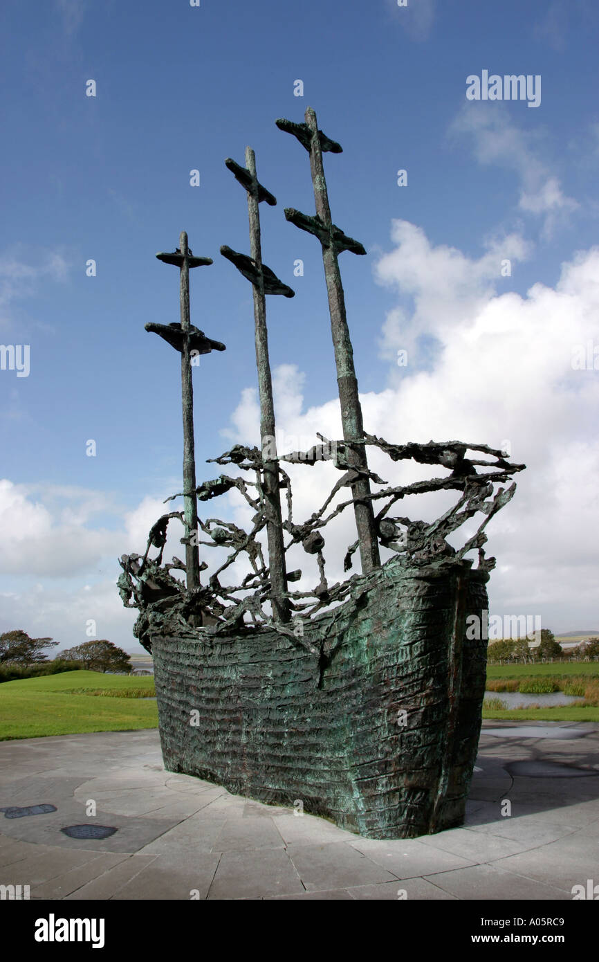 Cillín MemorialMemorial · 3.1 mi
 Inis BigilIsland · 3.3 mi
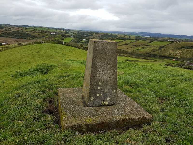 An Cnoc MórMountain / peak · 3.3 mi