What is recorded here
A 2m long ledge of rock outcrop containing two depressions c. 0.33m in diameter x .1m deep. 'They are known locally as St. Columbkille's footprints.
The above description was derived from the 'Archaeological Survey of County Donegal. A description of the field antiquities of the County from the Mesolithic Period to the 17th century.' Compiled by: Brian Lacey with Eamon Cody, Claire Cotter, Judy Cuppage, Noel Dunne, Vincent Hurley, Celie O'Rahilly, Paul Walsh and Seán Ó Nualláin (Lifford: Donegal County Council, 1983). In certain instances the entries have been revised and updated.
Date of upload: 22 September 2008
A 2m long ledge of rock outcrop containing two depressions c. 0.33m in diameter x 0.1m deep. Likely a bullaun stone, possibly dating to the early medieval period, associated with Christian tradition and St. Columbkille. Such stones were often used for ritual purposes, including the anointing of holy water or as pilgrimage sites.
The monument record does not grant public access. Check the route and ask the landowner before entering private land.
- What survives
- Recorded monument
Places near here
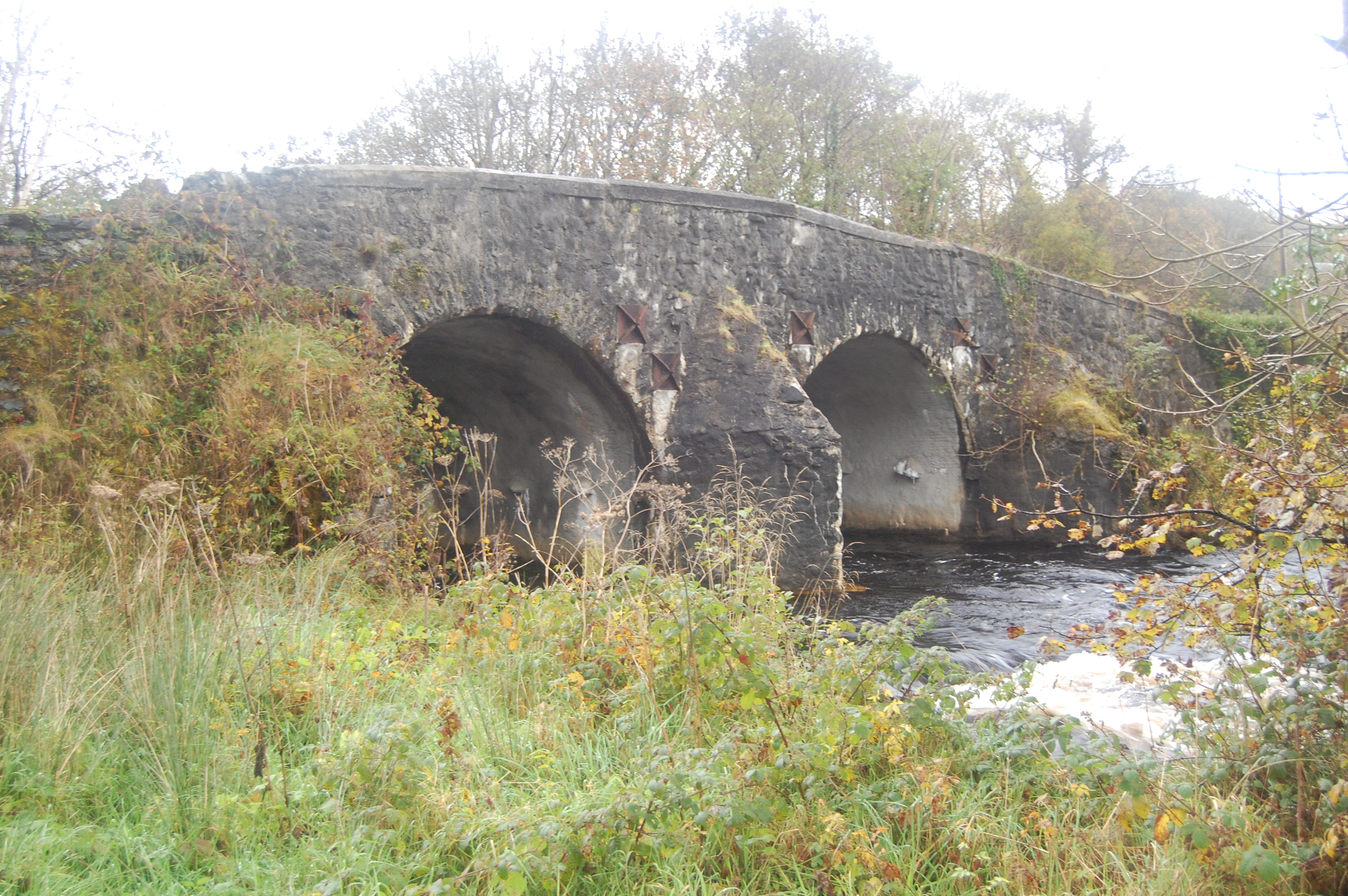 Barrack Bridgebridge · 669 yd
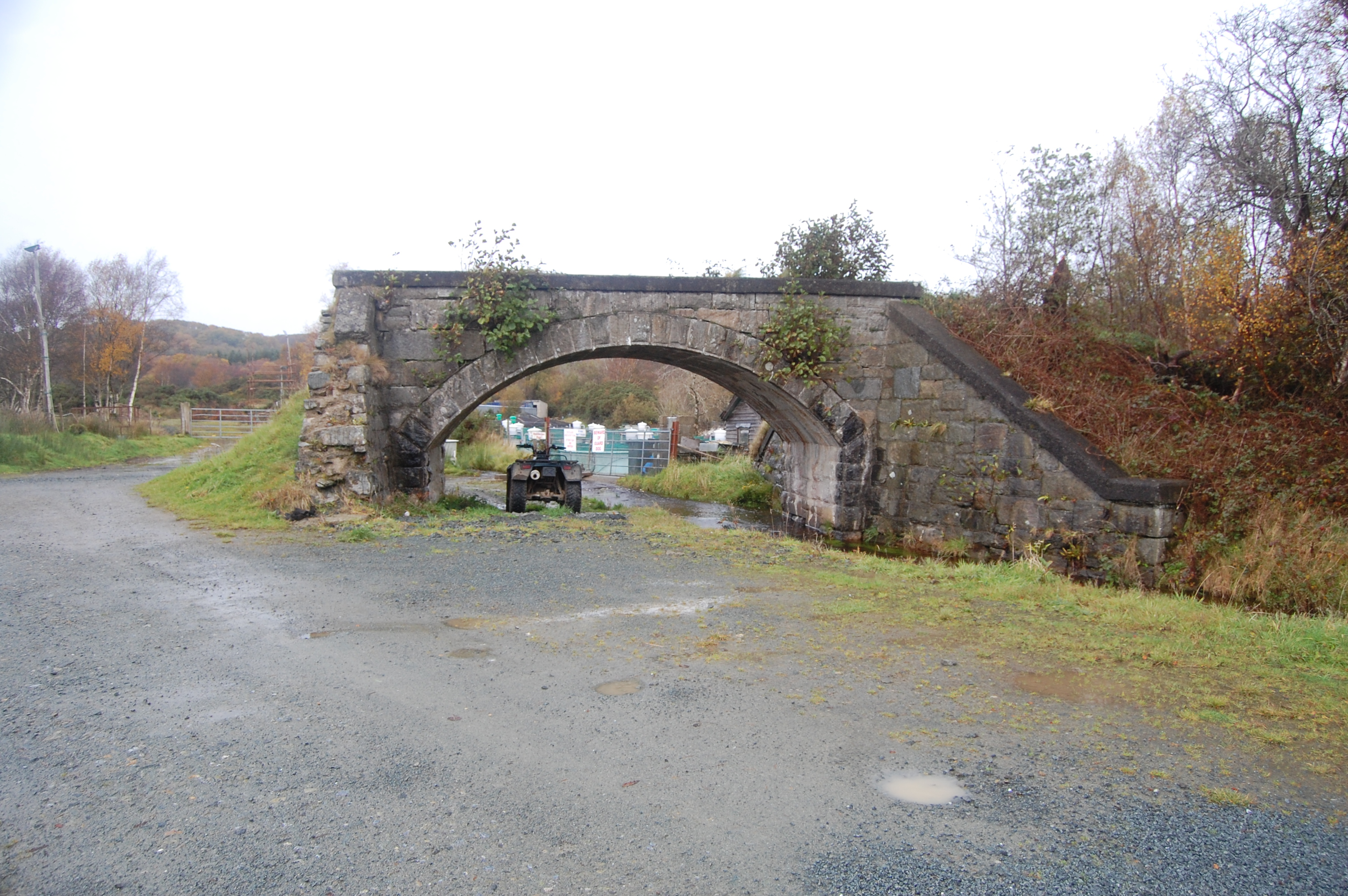 bridgebridge · 674 yd
 TobernagloryHoly well · 1361 yd
 Enclosure in Roshin (gartan Ed)Enclosure · 1384 yd
 Stackarnagh Abbey GraveyardGraveyard · 1.3 mi
 Glebe House and GalleryHeritage attraction · 2.3 mi
 European BeechEuropean Beech · 2.3 mi
 Gregory HillMountain / peak · 2.3 mi
 Church Hill ForestForest recreation place · 2.5 mi
 Master Sword in StoneHeritage attraction · 4.3 mi
 Battle of Scarrifholisbattle · 4.3 mi
 Site of Castle SollusCastle, unclassified · 4.3 mi