What is recorded here
Bullaun, a standing stone or fallen stone with cropmarks in Gortgonnell, County Fermanagh, is recorded from the early Christian period and may include a barrow cemetery. The field still carries the shape of what stood or was buried there, while the stone may have fallen, broken, or been removed. People may have marked death, prayer, or boundary at that place before the land was changed.
The official Northern Ireland record identifies this as Bullaun or Standing Stone (fallen?) and cropmarks (possible barrow cemetery). Recorded period: E.CHRIST.. The official map point was placed at the centre of the recorded archaeological site from the source map reference.
A fallen standing stone or bullaun, possibly Neolithic or Bronze Age, associated with cropmarks indicating a potential barrow cemetery; its exact type and wider significance remain unclear due to limited documentation.
The monument record does not grant public access. Check the route and ask the landowner before entering private land.
- What survives
- Recorded monument
Places near here
 Castle CooleCountry House · 703 yd
 Pump houseHeritage attraction · 744 yd
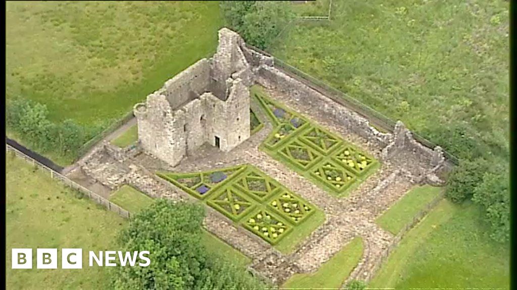 FORTIFICATION(site of) & 18th century formal garden in Castle CooleFORTIFICATION(site of) & 18th century formal garden · 828 yd
 Limekiln Bog WoodWood · 1349 yd
 Coneyburrow WoodWood · 1362 yd
 ENCLOSURE in GlasmullaghENCLOSURE · 1645 yd
 Masonic HallHall · 1738 yd
 War MemorialMemorial · 1.2 mi
 Orange HallHall · 1.3 mi
 Remembrance Day bombingbomb attack · 1.3 mi
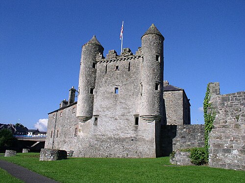 Siege of Enniskillensiege · 1.3 mi
 C18TH CHURCH with C17th TOWER, & GRAVEYARD: ENNISKILLEN CHURCH in EnniskillenC18TH CHURCH with C17th TOWER, & GRAVEYARD: ENNISKILLEN CHURCH · 1.5 mi