What is recorded here
The official Northern Ireland record identifies this as BULLAUN: KNOCKING STONE. Recorded period: UNCERTAIN. The official map point was placed at the centre of the recorded archaeological site from the source map reference.
Likely dating to the early medieval period, bullauns were often used for ritual purposes, such as anointing with holy water or as part of Christian pilgrimage practices, though they may have had earlier prehistoric significance. Local folklore sometimes associates them with healing or with being "knocking stones" used to divine the presence of treasure or illness.
The monument record does not grant public access. Check the route and ask the landowner before entering private land.
- What survives
- Recorded monument
Places near here
 A.P. SITE: ENCLOSURE in CraigmacaganA.P. SITE: ENCLOSURE · 502 yd
 Brackens CaveCave · 594 yd
 Drystone enclosure: possible boat shelter in BallynoeDrystone enclosure: possible boat shelter · 600 yd
 Boathouse Visitor Centre & MuseumMuseum · 658 yd
 Boat HouseBoat House · 658 yd
 Kelp HouseRuins · 744 yd
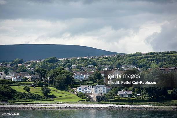 CarrickagileHeadland · 756 yd
 Ballycarry Trail, RathlinWalking route · 1036 yd
 Rathlin CastleRuins · 1140 yd
 FORTIFICATION: BRUCE'S CASTLE in BallycarryFORTIFICATION: BRUCE'S CASTLE · 1141 yd
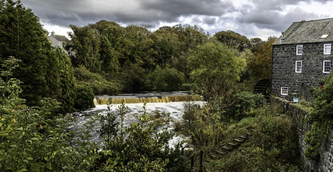 RuenascarriveHeadland · 1218 yd
 Rathlin IslandIsland · 1.8 mi