What is recorded here
Marked only on the 1940 ed. of the OS 6-inch map, it is located at the side of the road at Faythe cross-roads in Tacumshin village. This is a rectangular block of granite (dims 0.96m x 0.76m; H 0.67m) with a single basin (diam. 0.2m; D 0.15m). There are two shallow depressions on the stone (diam. 6cm: D 1 2cm) on either side of the basin.
The above description is derived from the published 'Archaeological Inventory of County Wexford' (Dublin: Stationery Office, 1996). In certain instances the entries have been revised and updated in the light of recent research.
Compiled by: Michael Moore
Date of upload/revision: 25 March, 2014
Likely dating to the Bronze Age, the basin may have had ritual or practical use, such as for water collection or ceremonial purposes. No specific folklore is recorded for this site.
The monument record does not grant public access. Check the route and ask the landowner before entering private land.
- What survives
- Recorded monument
Places near here
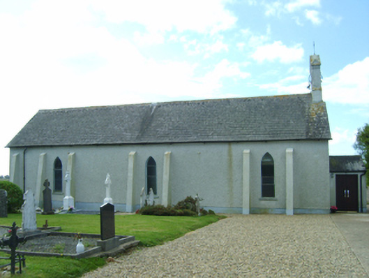 Saint Catherine's Catholic Churchchurch/chapel · 57 yd
 Windmill (Corn) (Disused)Windmill · 95 yd
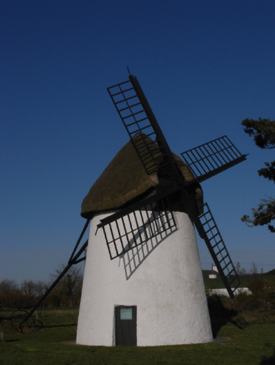 mill (wind)mill (wind) · 96 yd
 Ballymacane CastleCastle, unclassified · 744 yd
 Windmill in Ballytory UpperWindmill · 917 yd
 Castle (in ruins)Castle, tower house · 1222 yd
 Wilson's MoorWood · 1.2 mi
 Sigginstown Island (Great)Island · 1.4 mi
 InishIsland · 1.4 mi
 The HamBay · 1.5 mi
 Lady's IslandVisitor information · 1.8 mi
 The Chour / The Hill of the ChourMountain / peak · 2.3 mi