What is recorded here
In rough pasture, on an E-facing slope on the Ox mountains. This building was described in 1992 as the remains of a rectangular drystone-built structure (int. dims.: L 7.2m; Wth 4.2m; long axis E-W) with walls (T 0.7m) surviving to 2m in height. An entrance (Wth 1.4m) was noted at the E end (SMR (1989) file). No visible remains of this structure could be found during a subsequent site inspection.
Compiled by: Archaeological Survey Unit, UCC with revisions by Patrick F. O'Donovan and Paul Walsh
Date of upload: 20 June 2011
The monument record does not grant public access. Check the route and ask the landowner before entering private land.
- What survives
- Recorded monument
Places near here
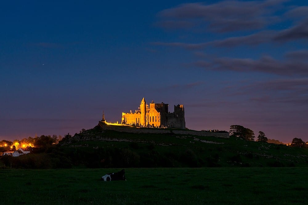 CashelFairy fort / stone ringfort · 423 yd
 IndicatedFairy fort / stone ringfort · 455 yd
 CroaghaunMountain / peak · 572 yd
 Tullaghan HillMountain / peak · 1.0 mi
 Kildalough Church (in Ruins)Church · 1.1 mi
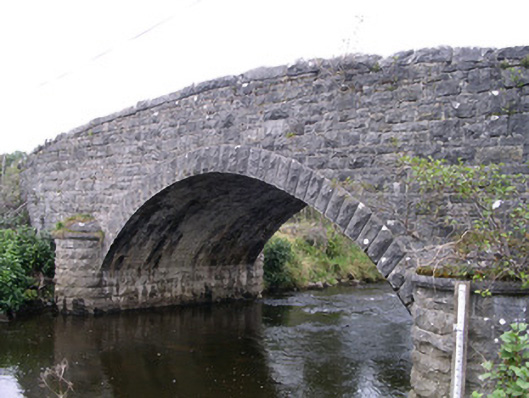 Billa Bridgebridge · 1.3 mi
 RinnatalleenHeadland · 1.5 mi
 Moymlough Castle (in Ruins)Castle, tower house · 1.7 mi
 Derinch PointHeadland · 2.1 mi
 CastleCastle, unclassified · 2.3 mi
 Battle of Collooneybattle · 3.0 mi
 Teeling MonumentMemorial · 3.0 mi