What is recorded here
A building is recorded on the Down Survey map of Middlethird barony (1655-56) at Islandikane, close to the church (WA026-033----). It remains unlocated.
Compiled by: Michael Moore
Date of upload/revision: 09 June 2011
The monument record does not grant public access. Check the route and ask the landowner before entering private land.
- What survives
- Recorded monument
Places near here
 Grave YardGraveyard · 612 yd
 Kilfarrasy BeachBeach / strand · 1436 yd
 Church in KilfarrasyChurch · 1499 yd
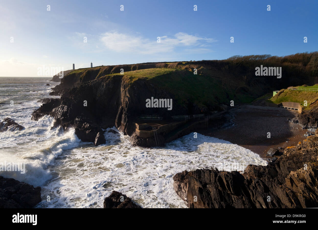 EntrenchmentPromontory fort, coastal · 1546 yd
 Garrarus StrandBeach / strand · 1.1 mi
 Catholic Church of the Immaculate ConceptionOfficially recorded historic building · 1.2 mi
 Fenor BogNature reserve · 1.4 mi
 Ballyscanlon HillMountain / peak · 1.6 mi
 Dunhill CastleCastle · 1.9 mi
 Castle (in ruins)Castle, tower house · 1.9 mi
 Annestown monumentMemorial · 2.0 mi
 Lime KilnVisitor information · 2.0 mi