What is recorded here
Portion of wall of medieval building or part of the NE boundary wall of the precinct and graveyard (KK019-026156-) of St Mary's parish church (KK019-026115-) excavated by Claire Cotter (06E0712) at 44-8 Kieran Street (Cotter 2009, 275-7; Cotter and Shine 2010, 14; Shine 2011). The wall (excavated L 6m, Wth 1m), orientated SE - NW, ran 1m W of the medieval revetment (KK019-026262-) and c. 6m E of the present post-medieval NE boundary/revetting wall for the graveyard of St Mary's church. Associated pottery dates the excavated wall to the 13th/14th century. A cobbled road (KK019-026280-), probably the original surfacing for St Kieran's Street, ran to the E of the excavated wall. The wall was interpreted by the excavator as either part of the boundary of St Mary's or the rear (W) wall of a substantial medieval building that originally occupied the street-frontage of Kieran Street (Cotter 2009, 276). It is likely further sections of the wall survive to the N and S of the excavated area.
Compiled by: Cóilín Ó Drisceoil
Date of upload: 14 December 2020
The monument record does not grant public access. Check the route and ask the landowner before entering private land.
- What survives
- Recorded monument
Places near here
 Medieval Mile MuseumMuseum · 35 yd
 Graveslab in Gardens (kilkenny City By., St. Mary’s Par.)Graveslab · 43 yd
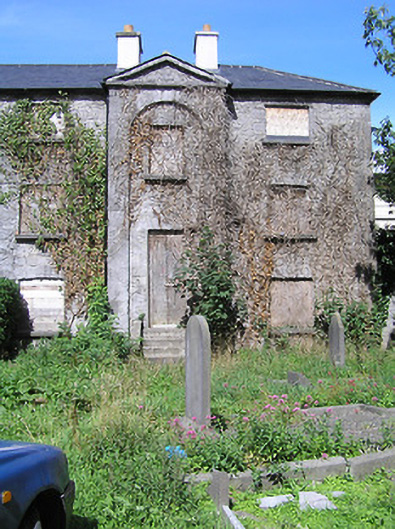 Saint Mary's Church (Saint Mary's)almshouse · 45 yd
 TholselHeritage attraction · 70 yd
 Langton Househouse · 72 yd
 Almshouse in Gardens (kilkenny City By., St. Mary’s Par.)Almshouse · 86 yd
 Irish River LifeVisitor information · 105 yd
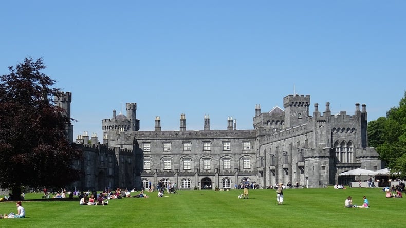 Thomas DollardMemorial · 201 yd
 Thomas MooreMemorial · 218 yd
 Kilkenny CourthouseVisitor information · 268 yd
 Grace's Old CastleCastle · 295 yd
 Black PoplarBlack Poplar · 764 yd